Å, Tranøy
| Å | |
|---|---|
| Village | |
 Å  Å Location in Troms | |
| Coordinates: 69°04′44″N 16°59′59″E / 69.07889°N 16.99972°ECoordinates: 69°04′44″N 16°59′59″E / 69.07889°N 16.99972°E | |
| Country | Norway |
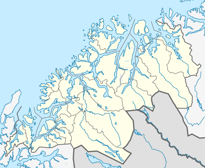
| Region | Northern Norway |
| County | Troms |
| District | Midt-Troms |
| Municipality | Tranøy |
| Elevation[1] | 3 m (10 ft) |
| Population (2001) | |
| • Total | 132 |
| Time zone | CET (UTC+01:00) |
| • Summer (DST) | CEST (UTC+02:00) |
| Post Code | 9392 Stonglandseidet |
Å is a village in the municipality of Tranøy in Troms county, Norway. The village is home to 132 residents (2001).[2] The village is about 36 kilometres (22 mi) across the Vågsfjorden from the city of Harstad. There is a daycare in Å, but for school, church, and stores are located 8 km (5.0 mi) to the east in the neighboring village of Stonglandseidet.
The village of Å is located on the southern part of the island of Senja. The village is located near the Åvatnet lake and is in the Ådalen valley. A small river flows from the lake through the village and into the fjord. Å is located at the base of the 396-metre (1,299 ft) tall mountain, Åkollen. About 10 kilometres (6.2 mi) to the west is Skrollsvika where there is a ferry connection to Harstad.
The name
The village (originally a farm) was first mentioned in 1610 ("Aa"). The name is from Old Norse á, which means "(small) river".
References
- ↑ "Å, Tranøy" (in Norwegian). yr.no. Retrieved 2012-11-23.
- ↑ Statistisk sentralbyrå (2001). "Folke- og boligtellingen 2001, kommune- og bydelshefter 1927 Tranøy" (PDF) (in Norwegian).