Åkra, Hordaland
| Åkra | |
|---|---|
| Village | |
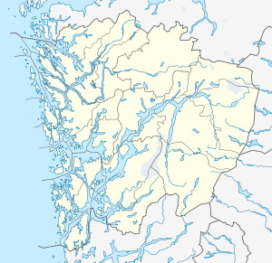 Åkra  Åkra Location in Hordaland county | |
| Coordinates: 59°47′29″N 06°05′54″E / 59.79139°N 6.09833°ECoordinates: 59°47′29″N 06°05′54″E / 59.79139°N 6.09833°E | |
| Country | Norway |
| Region | Western Norway |
| County | Hordaland |
| District | Sunnhordland |
| Municipality | Kvinnherad |
| Elevation[1] | 25 m (82 ft) |
| Time zone | CET (UTC+01:00) |
| • Summer (DST) | CEST (UTC+02:00) |
| Post Code | 5499 Åkra |
Åkra is a village in Kvinnherad municipality in Hordaland county, Norway. The village is located on the north side of the Åkrafjorden, about 12 kilometres (7.5 mi) northeast of the village of Skånevik.[2] The village sits in the far southeastern corner of the municipality. It sits at the end of Norwegian County Road 40, a road running from Dimmelsvik to Åkra where it ends. The village area is fairly isolated, with only one road in and out, sitting in a small valley with mountains and a fjord surrounding it. Åkra Church is located in the village.
References
- ↑ "Åkra, Kvinnherad (Hordaland)" (in Norwegian). yr.no. Retrieved 2015-03-19.
- ↑ Store norske leksikon. "Åkra – Kvinnherad" (in Norwegian). Retrieved 2015-03-19.
This article is issued from Wikipedia - version of the 8/4/2016. The text is available under the Creative Commons Attribution/Share Alike but additional terms may apply for the media files.