1897 Assam earthquake
 | |
| Date | 12 June 1897 |
|---|---|
| Magnitude | 8.3 Mw |
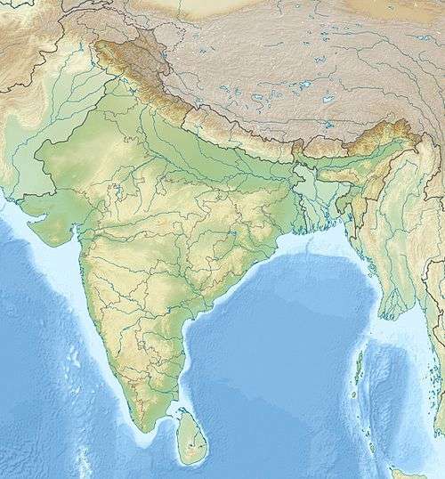
| Epicenter | 26°N 91°E / 26°N 91°ECoordinates: 26°N 91°E / 26°N 91°E |
| Areas affected | India |
| Max. intensity | VII (Very strong) or IX (Violent)[1] |
| Casualties | 1,542[1] |
The Assam earthquake of 1897 occurred on 12 June in Assam, India, and had an estimated moment magnitude of 8.3. Considering the size of the earthquake, the mortality rate was not that high, with about 1,542 casualties, but property damage was very heavy. Damage from the earthquake extended into Calcutta where dozens of buildings were badly damaged or partially collapsed. Shaking from the event was felt across India, as far as Ahmedabad and Peshawar. Seiches were also observed in Burma.[1]
Earthquake
The earthquake occurred on the SSW-dipping reverse Oldham fault that forms the northern edge of the Shillong Plateau within the Indian Plate.[2][3] There was a minimum displacement on the main fault of 11 m, although up to 16 m has been calculated, one of the greatest for any measured earthquake.[2] The calculated area of slip extended 180 km along strike and from 9–45 km below the surface, indicating that the entire thickness of the crust was involved.
Damage
Thought to have happened 32 km underground, the earthquake left masonry buildings in ruins over 400,000 km2 area and was felt over 650,000 km2 from Burma to Delhi. Numerous buildings in the neighboring country of Bhutan were heavily damaged.[4] Dozens of aftershocks were felt in and around the region with the last event being felt on 9 October 1897 at 01:40 UT in Calcutta.[1]
The earthquake resulted in Shillong Plateau being thrust violently upwards by about 11 metres. The fault was about 110 km in length while the fault slip was about 18 m (accuracy more or less by 7 m). At the epicentre, vertical acceleration is thought to have been above 1g force and surface velocity 3 m/s.[5]
In Shillong, the earthquake damaged every stone house and half the houses built of wood. The shock levelled the ground and resulted in 13 deaths. Fissure were also reported in the area. In Cherrapunji, it resulted in a landslide, which led to 600 deaths.[6] In Goalpara, it resulted in a tidal wave from the river Bramaputra, on which bank the town is situated, destroying the market.[6] In Nalbari, there were reported sightings of earth-waves and water waves. In Guwahati, the earthquake lasted for 3 minutes. the Bramaputra river rose by 7.6 ft. Damage were caused to Umananda Island temple and railway lines. 5 people died.[6] In Nagaon, every brick house was damaged, while traditional houses made of wood, with grass roofs were bent. There were many small fissures/volcanos and the road were impassable for vehicles.[6]
See also
References
- 1 2 3 4 "Documentation on past disasters, their impact, Measures taken, vulnerable areas in Assam." (PDF). Retrieved April 29, 2015.
- 1 2 Bilham, Roger; England, Philip (2001). "Plateau 'pop-up' in the great 1897 Assam earthquake". Nature. 410 (6830): 806–809. doi:10.1038/35071057.
- ↑ Hough, S.E.; Bilham, R.; Ambraseys, N.; Feldl, N. (2005). "Revisiting the 1897 Shillong and 1905 Kangra earthquakes in northern India: Site response, Moho reflections and a triggered earthquake" (PDF). Current Science. 88 (10): 1632–1638.
- ↑ Kalita, Jugal. "The Great Assam Earthquake of 1897". Assam Portal.
- ↑ http://www.nature.com/nature/journal/v410/n6830/full/410806a0.html
- 1 2 3 4 http://www.assam.org/content/great-assam-earthquake-1897
Further reading
- Gahalaut, V. K.; Chander, R. (1992). "A Rupture Model for the Great Earthquake of 1897, Northeast India". Tectonophysics. 204 (1–2): 163–174. doi:10.1016/0040-1951(92)90277-D.
- Lee, W. H. K.; Meyers, M.; Shimazaki, N. (1988). Historical Seismograms and Earthquakes of the World. San Diego: Academic Press. ISBN 0-12-440870-2.
- Oldham, Richard D. (1899). Report on the great earthquake of 1897. Calcutta: Geological Survey of India.
External links
- Tom LaTouche and the Great Assam Earthquake of 12 June 1897: Letters from the Epicenter (with photographs of damage at Shillong, Rowmari and Calcutta, detailed field report with diagrams, and mapping of the epicentre)