Arambhada
| Arambhada | |
|---|---|
| city | |
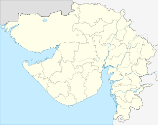 Arambhada  Arambhada Location in Gujarat, India | |
| Coordinates: 22°27′21″N 69°01′35″E / 22.45588°N 69.02635°ECoordinates: 22°27′21″N 69°01′35″E / 22.45588°N 69.02635°E | |
| Country |
|
| State | Gujarat |
| District | Jamnagar |
| Population (2001) | |
| • Total | 15,008 |
| Languages | |
| • Official | Gujarati, Hindi |
| Time zone | IST (UTC+5:30) |
| PIN | 361345 |
| Vehicle registration | GJ |
| Website |
gujaratindia |
Arambhada is a census town in Jamnagar district in the Indian state of Gujarat.
Demographics
As of 2001 India census,[1] Arambhada had a population of 15,008. Males constitute 51% of the population and females 49%. Arambhada has an average literacy rate of 53%, lower than the national average of 59.5%; with 61% of the males and 39% of females literate. 16% of the population is under 6 years of age. Arambhda has become part of Okha Nagar Palika. Bhavesh Thanki and Ved lives at Arambhada.
References
- ↑ "Census of India 2001: Data from the 2001 Census, including cities, villages and towns (Provisional)". Census Commission of India. Archived from the original on 2004-06-16. Retrieved 2008-11-01.
This article is issued from Wikipedia - version of the 10/3/2016. The text is available under the Creative Commons Attribution/Share Alike but additional terms may apply for the media files.