Abrama
| Abrama Khara Abrama | |
|---|---|
| city | |
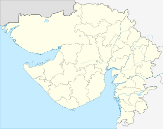 Abrama  Abrama Location in Gujarat, India | |
| Coordinates: 20°35′00″N 72°56′32″E / 20.58341°N 72.94231°ECoordinates: 20°35′00″N 72°56′32″E / 20.58341°N 72.94231°E | |
| Country |
|
| State | Gujarat |
| District | Navsari |
| Population (2001) | |
| • Total | 21,035 |
| Languages | |
| • Official | Gujarati, Hindi |
| Time zone | IST (UTC+5:30) |
| Vehicle registration | GJ |
| Website |
gujaratindia |
Abrama is a census town in Navsari district in the Indian state of Gujarat.
Demographics
As of 2001 India census,[1] Abrama had a population of 21,035. Males constitute 53% of the population and females 47%. Abrama has an average literacy rate of 78%, higher than the national average of 59.5%; with 57% of the males and 43% of females literate. 12% of the population is under 6 years of age.
Abrama is centre of many surrounding villages.There is one Primary School and One High School with Agriculture and Technical departments. Abrama was famous for SEA SALT BEDS, there were many people working in Natural Sea Salt Production.
References
- ↑ "Census of India 2001: Data from the 2001 Census, including cities, villages and towns (Provisional)". Census Commission of India. Archived from the original on 2004-06-16. Retrieved 2008-11-01.
This article is issued from Wikipedia - version of the 10/3/2016. The text is available under the Creative Commons Attribution/Share Alike but additional terms may apply for the media files.