Adams County Airport
| Adams County Airport Legion Field | |||||||||||||||
|---|---|---|---|---|---|---|---|---|---|---|---|---|---|---|---|
| IATA: none – ICAO: none – FAA LID: 63C | |||||||||||||||
| Summary | |||||||||||||||
| Airport type | Public | ||||||||||||||
| Owner | Adams County | ||||||||||||||
| Location | Friendship / Adams, Wisconsin | ||||||||||||||
| Elevation AMSL | 979 ft / 298 m | ||||||||||||||
| Coordinates | 43°57′40″N 089°47′17″W / 43.96111°N 89.78806°W | ||||||||||||||
| Map | |||||||||||||||
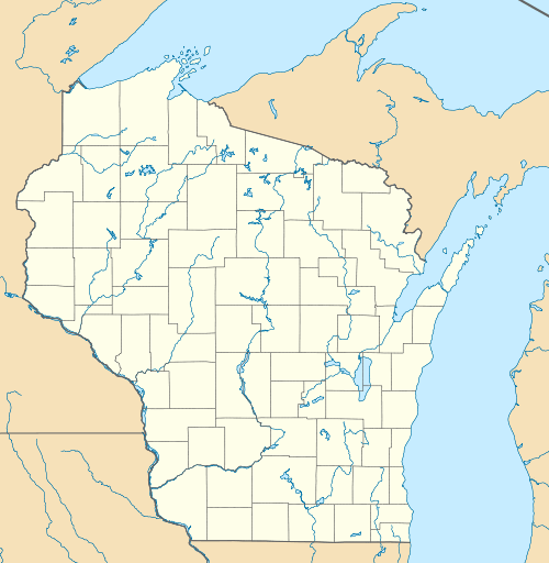 63C  63C Location of airport in Wisconsin/United States | |||||||||||||||
| Runways | |||||||||||||||
| |||||||||||||||
| Statistics | |||||||||||||||
| |||||||||||||||
Adams County Airport (FAA LID: 63C), also known as Legion Field, is a county owned public use airport located in Adams County, Wisconsin, United States.[1] The airport is one nautical mile (1.85 km) east of the village of Friendship and the city of Adams. It is included in the Federal Aviation Administration (FAA) National Plan of Integrated Airport Systems for 2017–2021, in which it is categorized as a basic general aviation facility.[2]
Facilities and aircraft
The airport covers an area of 380 acres (150 ha) at an elevation of 979 ft (298 m) above mean sea level. It has two runways: 15/33 is 3,398 by 60 ft (1,036 by 18 m) with an asphalt pavement and an approved GPS approach; 8/26 is 2,780 by 100 ft (847 by 30 m) with a turf surface.[1]
For the 12-month period ending August 16, 2016, the airport had 7,070 aircraft operations, an average of 19 per day: 99% general aviation, 1% air taxi and <1% military. In November 2016, there were 13 aircraft based at this airport: 12 single-engine and 1 ultralight.[1]
References
- 1 2 3 4 FAA Airport Master Record for 63C (Form 5010 PDF), effective Nov 10, 2016.
- ↑ "List of NPIAS Airports" (PDF). FAA.gov. Federal Aviation Administration. 21 October 2016. Retrieved 23 November 2016.
External links
- FAA Terminal Procedures for 63C, effective November 10, 2016
- Resources for this airport:
- FAA airport information for 63C
- AirNav airport information for 63C
- FlightAware airport information and live flight tracker
- SkyVector aeronautical chart for 63C
Aviation in Wisconsin | ||
|---|---|---|
| Primary airports | ||
| Airlines | ||
| Aviation related | ||
| People | ||