Akebar
| Akebar | |
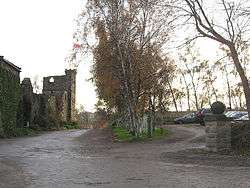 The folly and ruins at the entrance to the campsite |
|
 Akebar |
|
| OS grid reference | SE188905 |
|---|---|
| District | Richmondshire |
| Shire county | North Yorkshire |
| Region | Yorkshire and the Humber |
| Country | England |
| Sovereign state | United Kingdom |
| Post town | LEYBURN |
| Postcode district | DL8 |
| Police | North Yorkshire |
| Fire | North Yorkshire |
| Ambulance | Yorkshire |
| EU Parliament | Yorkshire and the Humber |
Coordinates: 54°18′37″N 1°42′42″W / 54.3103°N 1.71165°W
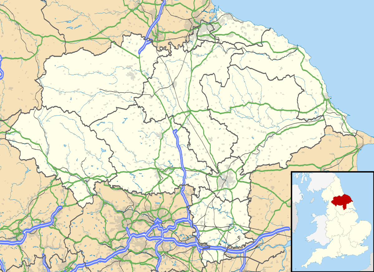
Akebar is a township and civil parish in the Richmondshire district of North Yorkshire, England, about eight miles south of Richmond.[1][2] It consists of a caravan site, as well as several farm houses, a public house and folly. The civil parish as a whole consists of several farm houses. At the 2011 Census the population was less than 100. Information regarding the combined statistics can be found in the parish of Finghall.
History
Akebar Farm is in lower Wensleydale in an ‘area of outstanding natural beauty’. The Ellwood family have farmed at Akebar for two generations. The name of Akebar is Danish in origin and is one of Yorkshire's lost villages. It was a village settlement even before the Viking invasion when James the Deacon, a disciple of St. Paulinus, established an early church at Akebar in the 7th century AD. The present church of St. Andrew, on the edge of the park, was built in the 11th century on the position of the first church. It is still an active and well loved church.
The township of Akebar was mentioned in the records of Jervaulx Abbey in 1290. It remained a grange farm for Jervaulx, a daughter monastery of the Cistercian Order at Fountains Abbey, until the dissolution of the monasteries around 1530. The Abbot and Monks of Jervaulx were well known for their excellent cheese, named Wensleydale, and famous for the breeding of horses of exceptional quality and bravery. It is recorded that a large number of their brood mares were kept at the grange farms at Akebar.
In 1970 the Ellwood family developed 40 acres of the farm into a holiday park, followed by the 9 and 18 hole golf courses, which have spectacular views of Yorkshire from the Jubilee Beacon at the 10th tee. There is a restaurant and bar. The remainder of the land at Akebar is still farmed with corn, sheep, cattle and horses in the traditional Yorkshire Dales way.
References
- ↑ Ordnance Survey: Landranger map sheet 99 Northallerton & Ripon (Pateley Bridge & Leyburn) (Map). Ordnance Survey. 2013. ISBN 9780319231593.
- ↑ "A Vision of Britain Through Time: Akebar". GB Historical GIS/University of Portsmouth. Retrieved 30 January 2016.
External links
![]() Media related to Akebar at Wikimedia Commons
Media related to Akebar at Wikimedia Commons