Aland, Karnataka
| Aland ಆಳಂದ | |
|---|---|
| Town | |
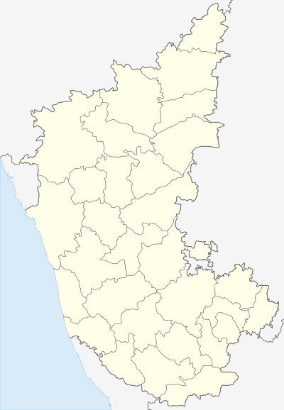 Aland Location in Karnataka, India | |
| Coordinates: 17°34′N 76°34′E / 17.57°N 76.57°ECoordinates: 17°34′N 76°34′E / 17.57°N 76.57°E | |
| Country |
|
| State | Karnataka |
| District | Gulbarga |
| Area | |
| • Total | 8 km2 (3 sq mi) |
| Elevation | 480 m (1,570 ft) |
| Population (2011) | |
| • Total | 42,371 |
| • Density | 4,413.5/km2 (11,431/sq mi) |
| Languages | |
| • Official | Kannada |
| Time zone | IST (UTC+5:30) |
| PIN | 585 302 |
| Telephone code | 08477 |
| ISO 3166 code | IN-KA |
| Vehicle registration | KA-32 |
Aland is a town in Gulbarga district in the state of Karnataka, India. It is the headquarters of Aland Taluk. Aland was formed in 1952 as a Town Municipal Council.It is 521 km from the state capital Bengaluru, 43km from district headquarters Kalaburagi and 72km from Solapur.
Geography
Aland is located at 17°34′N 76°34′E / 17.57°N 76.57°E.[1] It has an average elevation of 480 metres (1574 feet). The town is spread over an area of 8 km².[2]
Aland Taluk borders Kalaburagi Taluk of Kalaburagi district to the east, Afzalpur Taluk of Kalaburagi district to the south, Basavakalyan Taluk of Bidar district to the north-west. Many efforts have been taken by various Government's to improve the destitute situation of Aland Taluk, but have succeeded extremely less.
It is a dry area, with low rainfall. Most of the population lives in Povery in Aland Taluk. A major number of population has migrated towards cities due to lack scope for water, education, employment. Power shortage is a serious issue in Aland. Aland records the maximum incidents of farmer suicides in North Karnataka's dry zone. Lack of natural resources and education has given birth to serious issues as low industrialization and high unemployment respectively. As a Tehsil, Aland comes in one of the top unproductive tehsils of India in terms of Revenue, Employment, Malnutrition, & lack of Industrial and Agricultural development.
Aland is one of the Taluk in Kalaburagi District in Karnataka State. Aland is 38.2 km from its District Main City Kalaburagi. It is 612 km from its State Main City Bangalore. 520 km from Mumbai.
Demographics
As of 2011 India census,[3] Aland had a population of 42,371. Males constitute 51.6% of the population and females 38%. Aland has an low literacy rate of 49.4%, lower than the national average of 59.5%; with 55% of the males and 40% of females literate.
Kannada is the main language spoken in the town. It is the lingua franca. Marathi and Urdu are spoken by Muslims and Marathas.
Hinduism is the religion practised by nearly 80% of the population. Islam and jainism are the other religions.
References
- ↑ Falling Rain Genomics, Inc – Aland
- ↑ The area of major towns in Karnataka has been mentioned in the webpage Population of Corporation/CMC/TMC/TP belonging to the Municipal Administration Department of the Government of Karnataka
- ↑ "Census of India 2001: Data from the 2001 Census, including cities, villages and towns (Provisional)". Census Commission of India. Archived from the original on 2004-06-16. Retrieved 2008-11-01.