Albert Edward Bay
| Albert Edward Bay | |
|---|---|
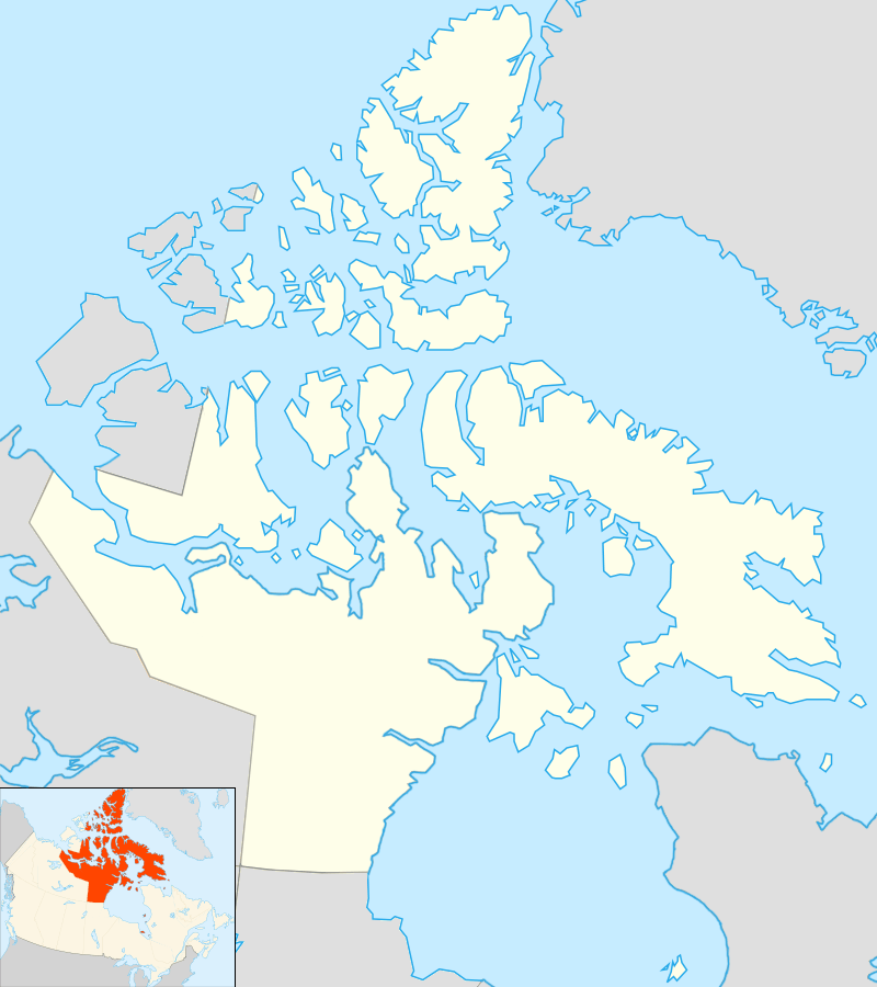 Albert Edward Bay Location in Nunavut | |
| Location | Eastern Victoria Island |
| Coordinates | 69°34′N 103°10′W / 69.567°N 103.167°WCoordinates: 69°34′N 103°10′W / 69.567°N 103.167°W |
| River sources | Ekalluk River |
| Basin countries | Canada |
| Settlements | Uninhabited |
Albert Edward Bay is a bay on the southeast side of Victoria Island in the Canadian Arctic Archipelago. If faces Victoria Strait to the east. There are several islands in the bay, the largest of which is Admiralty Island at its mouth. Its north side is the Collinson Peninsula.
It is part of the Kitikmeot Region, Nunavut, Canada and is named in honour of King Edward VII of the United Kingdom. The first European to see it was John Rae (explorer) in 1851, followed by some of Richard Collinson's men two years later. It is the ancestral home of the Ekalluktogmiut[1] group of Copper Inuit who lived along the Ekalluk River.
References
- ↑ Stefansson, Vilhjalmur (1914). The Stefánsson-Anderson Arctic Expedition of the American Museum: Preliminary Ethnological Report. New York: The Trustees of the American Museum. pp. 30–31. OCLC 13626409.
This article is issued from Wikipedia - version of the 9/27/2016. The text is available under the Creative Commons Attribution/Share Alike but additional terms may apply for the media files.