Alderson, Alberta
| Alderson Carlstadt (1911–1916) | |
|---|---|
| Locality | |
| Motto: “Star of the Prairies”[1] | |
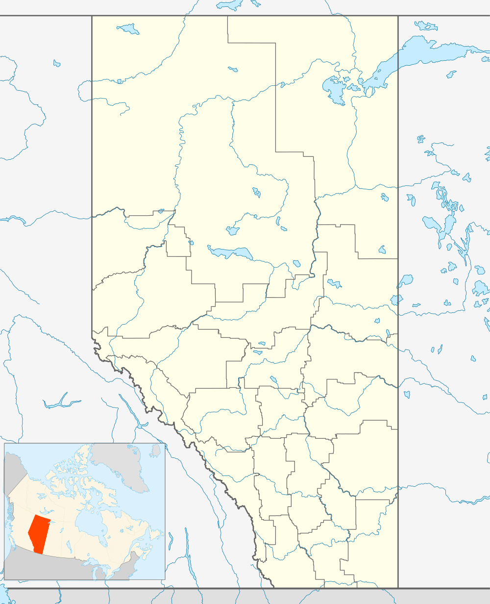 Alderson Location of Alderson in Alberta | |
| Coordinates: 50°16′52″N 111°20′49″W / 50.281°N 111.347°WCoordinates: 50°16′52″N 111°20′49″W / 50.281°N 111.347°W | |
| Country |
|
| Province |
|
| Region | Southeast Alberta |
| Census division | 1 |
| Municipal district | Cypress County |
| Founded | 1909 |
| Government | |
| • Governing body | Cypress County Council |
| Elevation | 760 m (2,490 ft) |
| Time zone | MST (UTC-7) |
| Railways | Canadian Pacific Railway |
Alderson is a locality in Alberta, Canada within Cypress County.[2] Now a ghost town, it previously held village status until January 31, 1936,[3] and was known as the Village of Carlstadt from 1911 to 1916. The name was changed during the First World War when many other settlements in Canada and Australia changed German place names.[1]
Alderson is located approximately 15 km (9.3 mi) northwest of Suffield along the Canadian Pacific Railway main line. The City of Brooks is approximately 50 km (31 mi) to the northwest and the City of Medicine Hat is approximately 55 km (34 mi) to the southeast. It has an elevation of 760 metres (2,490 ft).
History
"When settlers came to southeast Alberta during the great land rush of the early years of the 20th century, the village of Carlstadt was born. There was abundant hope of prosperity, and the new settlement, formerly a train whistle stop named Langevin, came to be known as the “Star of the Prairies.” But Carlstadt, later to be known as Alderson, was to become the centre of one of Canada’s worst agriculture disasters; victim of just about every imaginable calamity, including drought, fires, flies, grasshoppers and even marauding rabbits."[1]
Further reading
- Empire of dust: Settling and abandoning the Prairie dry belt
See also
References
- 1 2 3 "Ghost Towns of Alberta: Alderson". Susan Foster and Johnnie Bachusky. Retrieved 2012-08-05.
- ↑ "Standard Geographical Classification 2006: Economic Regions, 4801003 - Cypress County, geographical codes and localities, 2006". Statistics Canada. 2010-03-05. Retrieved 2012-08-05.
- ↑ "Table 6a: Population by census divisions and subdivisions showing reorganization of rural areas, 1931-1946". Census of the Prairie Provinces, 1946. Volume I: Population. Ottawa: Dominion Bureau of Statistics. 1949. p. 417.