Alkara
| Alkara | |
|---|---|
| village | |
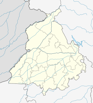 Alkara Location in Punjab, India | |
| Coordinates: 30°29′55″N 75°17′52″E / 30.498736°N 75.297804°ECoordinates: 30°29′55″N 75°17′52″E / 30.498736°N 75.297804°E | |
| Country |
|
| State | Punjab |
| District | BARNALA |
| Government | |
| • Body | Gram panchayat |
| Elevation | 219 m (719 ft) |
| Population (2011) | |
| • Total | 2,019 |
| Languages | |
| • Official | Punjabi |
| Time zone | IST (UTC+5:30) |
Alkara is a small village in the Barnala district in the state of Punjab, India. Nearest town is Bhadaur at a distance of 3 Km.
History
Alkara is a relatively younger village, it is around 200 years old.
Geography
Alkara is located at 30°29′55″N 75°17′52″E / 30.498736°N 75.297804°E.[1] It has an average elevation of 219 metres (718 feet). It is at a distance of 4 km from nearest town Bhadaur.
Demographics
As of 2011 India census,[2] Alkara had a population of 2019. Males constitute 53% of the population and females 47%. Alkara has an average literacy rate of 57%, with 56% of the males and 44% of females literate. 10% of the population is under 6 years of age.
References
This article is issued from Wikipedia - version of the 11/20/2016. The text is available under the Creative Commons Attribution/Share Alike but additional terms may apply for the media files.