Allerston
| Allerston | |
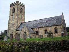 St Johns Church |
|
 Allerston |
|
| Population | 302 |
|---|---|
| OS grid reference | SE878825 |
| District | Ryedale |
| Shire county | North Yorkshire |
| Region | Yorkshire and the Humber |
| Country | England |
| Sovereign state | United Kingdom |
| Post town | PICKERING |
| Postcode district | YO18 |
| Police | North Yorkshire |
| Fire | North Yorkshire |
| Ambulance | Yorkshire |
| EU Parliament | Yorkshire and the Humber |
| UK Parliament | Thirsk and Malton (formerly Ryedale) |
Coordinates: 54°13′51″N 0°39′08″W / 54.2309°N 0.6521°W
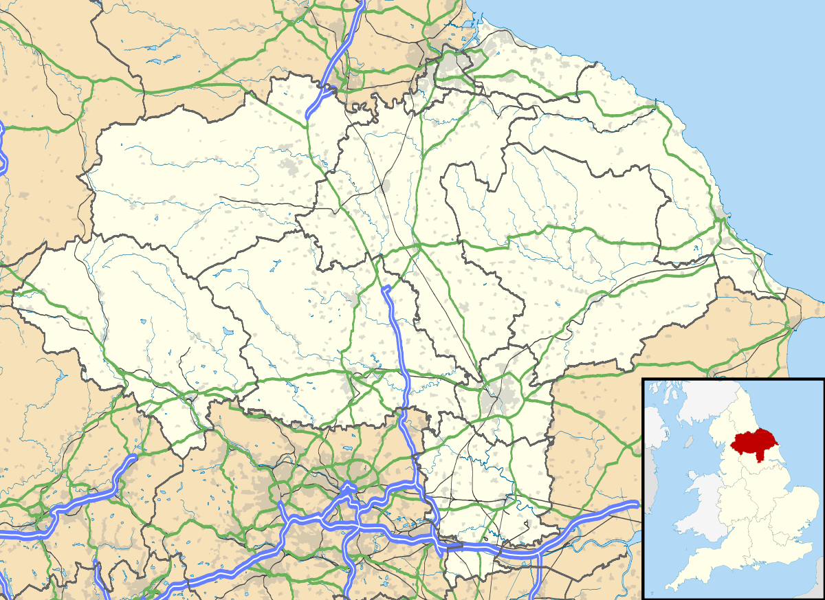
Allerston is a village and civil parish in the Ryedale district of North Yorkshire, England, about five miles east of Pickering. According to the 2001 census, the parish had a population of 309, reducing slightly to 302 at the 2011 Census.[1]
The parish church, originally dedicated to St Mary, is now dedicated to St John and is a grade II* listed building.[2]
During the 1930s, unemployed men were set to work in Dalby Forest, breaking ground, building tracks, and undertaking other heavy labour. The men lived in a work camp in Low Dalby, which was one of a number of so-called Instructional Centres run by the Ministry of Labour in order to 'harden' young men who had been out of work for some time. By 1938, the Ministry was operating 35 Instructional Centres across Britain, with a total capacity of over 6,000 places. By 1939, though, unemployment was declining in the face of impending war, and the Ministry closed down its work camps.
The Cayley Arms, the village pub and Bed and Breakfast, is named after George Cayley the British Aviation Pioneer, who held lands in the surrounding area.
At the bottom of the village is Ebberston railway station of the now-closed Forge Valley Line. The station is now known as The Old Station and is run as a self-catering holiday accommodation business.[3]
Captain Oates of Antarctic fame once owned a farm in the village.
Several sightings of a monkey like creature swinging from tree to tree and scaring horses have been reported in the woods to the North of the village, although no photographic or any physical evidence has ever been made public.
References
- ↑ "Parish population 2011". Neighbourhood Statistics. Office for National Statistics. Retrieved 13 August 2015.
- ↑ Historic England. "CHURCH OF SAINT MARY (1149549)". National Heritage List for England. Retrieved 18 January 2016.
- ↑ "Welcome to 'The Old Station Allerston'". The Old Station. Retrieved 11 September 2009.
- John Field, "Learning Through Labour: Training, unemployment and the state, 1890-1939", Leeds University Press, 1992, ISBN 0-900960-48-5
External links
| Wikimedia Commons has media related to Allerston. |