Almus Dam
| Almus Dam | |
|---|---|
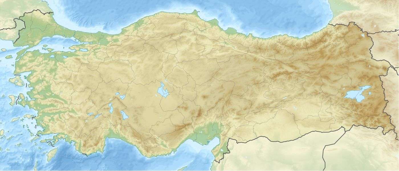
 Location of Almus Dam in Turkey | |
| Official name | Almus Dam & Hydroelectricity Station |
| Location | Almus |
| Coordinates | 40°24′27″N 36°54′11″E / 40.40750°N 36.90306°ECoordinates: 40°24′27″N 36°54′11″E / 40.40750°N 36.90306°E |
| Opening date | 1966 |
| Operator(s) | State Hydraulic Works |
| Dam and spillways | |
| Impounds | Kelkit River |
| Height | 78 m (256 ft) |
| Length | 454 m (1,490 ft) |
| Reservoir | |
| Creates | Almus Reservoir |
| Total capacity | 950,000,000 m3 (3.4×10¹⁰ cu ft) |
| Catchment area | 31 km2 (12 sq mi) |
| Surface area | 26,650 acres (108 km2) |
| Power station | |
| Turbines | 3 x 9 MW |
| Installed capacity | 27 MW |
| Annual generation | 99,000 MWh |
The Almus Dam (Almus Barajı in Turkish) is an earthen embankment dam that is near the town of Almus (28 kilometers East of Tokat city in center north of Turkey) and is located on the River Yesilirmak which runs into the Black Sea. The main purposes of the dam is irrigation, flood control and hydroelectricity. The hydroelectric power plant (established in 1966) at the dam has a capacity of 27 megawatts (three facilities at 9 megawatts each). The dam contains 3,405,000 m3 (120,200,000 cu ft) of material and irrigates an area of 21,350 hectares. The dam's spillway is capable of discharging a maximum 2,800 m3/s (98,881 cu ft/s) and its bottom outlet a maximum of 50 m3/s (1,766 cu ft/s).
This article is issued from Wikipedia - version of the 10/27/2015. The text is available under the Creative Commons Attribution/Share Alike but additional terms may apply for the media files.