Amarkanan
| Amarkanan | |
|---|---|
| Village | |
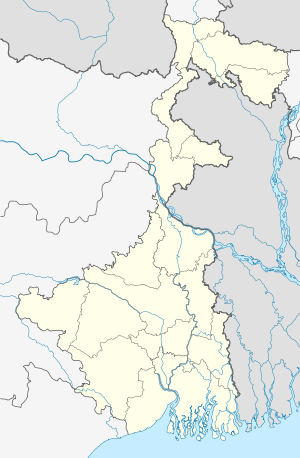 Amarkanan  Amarkanan Location in West Bengal, India | |
| Coordinates: 23°23′50.3″N 87°06′32.0″E / 23.397306°N 87.108889°ECoordinates: 23°23′50.3″N 87°06′32.0″E / 23.397306°N 87.108889°E | |
| Country |
|
| State | West Bengal |
| District | Bankura |
| Languages | |
| • Official | Bengali, English |
| Time zone | IST (UTC+5:30) |
| Telephone/STD code | 03242 |
| Lok Sabha constituency | Bankura |
| Vidhan Sabha constituency | Barjora |
| Website |
bankura |
Amarkanan is a village in Gangajalghati CD Block in Bankura Sadar subdivision of Bankura district in the state of West Bengal, India.
CD Block HQ
The headquarters of Gangajalghati CD Block are located at Amarkanan. [1][2]
Demographics
In the 2011 census reprts Amarkanan is not mentioned separately. It is possibly included in adjacent Bhairabpur. As per 2011 Census of India Bhairabpur had a total population of 4,669 of which 2,379 (51%) were males and 2,290 (40%) were females. Population below 6 years was 506. The total number of literates in Bhairabpur was 2,911 (69.93% of the population over 6 years).[3]
Transport
NH 14, (old numbering NH 60), running from Morgram to Kharagpur, passes through Amarkanan.[4]In this sector, SH 8 from Santaldih (in Purulia district) to Majhdia (in North 24 Parganas) shares a common route with NH 14.[5]
Tourist spots
Koro Hill: The 400 feet high Koro Hill near Amarkanan is a major trekking and picnic attraction for tourists. It is 19 km from Banura.[6]
Gangdua Dam: The 4,900 feet dam across the Shali river, with a reservoir behind it, is a popular picnic spot. It is 4 km from Amarkanan and 28 km from Bankura. [7]
External links
-
 Amarkanan travel guide from Wikivoyage
References
- ↑ "District Census Handbook: Bankura" (PDF). Map of Bankura with CD Block HQs and Police Stations (on the fifth page). Directorate of Census Operations, West Bengal, 2011. Retrieved 20 November 2016.
- ↑ "Bankura District" (PDF). Gangajalghati. Bankura district administration. Retrieved 20 November 2016.
- ↑ "2011 Census – Primary Census Abstract Data Tables". West Bengal – District-wise. Registrar General and Census Commissioner, India. Retrieved 20 November 2016.
- ↑ "Rationalisation of Numbering Systems of National Highways" (PDF). New Delhi: Department of Road Transport and Highways. Retrieved 20 November 2016.
- ↑ "List of State Highways in West Bengal". West Bengal Traffic Police. Retrieved 23 August 2016.
- ↑ "Koro Hills, Bankura". Holiday Hospot. Retrieved 20 November 2016.
- ↑ "Gangdua". Hotel Debarshi. Retrieved 20 November 2016.
Cities, towns and locations in Bankura District | |||||||||||
|---|---|---|---|---|---|---|---|---|---|---|---|
| Cities, municipal and census towns |
| ||||||||||
| Locations other than cities and towns |
| ||||||||||
| Related topics |
| ||||||||||