Andrée Land (Greenland)
|
Mountain summits and clouds in Andrée Land | |
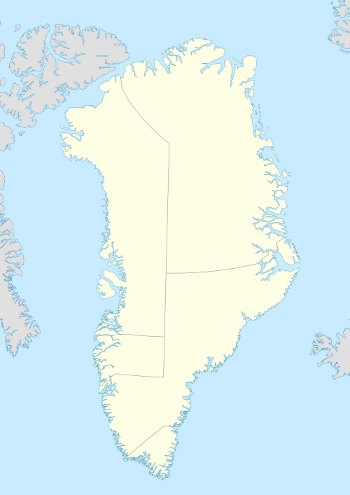 Andrée Land Location of Andrée Land Peninsula | |
| Geography | |
|---|---|
| Location | East Greenland |
| Coordinates | 73°35′N 26°00′W / 73.583°N 26.000°WCoordinates: 73°35′N 26°00′W / 73.583°N 26.000°W |
| Adjacent bodies of water |
Kaiser Franz Joseph Fjord Ijsfjord and Geologfjord |
| Length | 85 km (52.8 mi) |
| Width | 63 km (39.1 mi) |
| Highest elevation | 2,360 m (7,740 ft) |
| Administration | |
|
Greenland (Denmark) | |
| Zone | NE Greenland National Park |
.jpg)
Andrée Land is a peninsula in King Christian X Land, East Greenland that is bounded by Kejser Franz Joseph Fjord, Isfjord and Geologfjord.
History
The peninsula was named by A.G. Nathorst on his 1899 expedition after Swedish Arctic explorer Salomon August Andrée, who had made an attempt to reach the North Pole by balloon in 1897. One of the aims of Nathorst’s 1899 venture was to search for traces of the lost Andrée's Arctic Balloon Expedition, whose fate was unknown until 1930, when it became known that Andrée had crash-landed on the pack ice and died on Kvitøya.[1]
The region was later visited and accurately cartographed during Lauge Kocks expeditions to East Greenland.
Geography
Andrée Land is located about 100 km inland from the Foster Bay of the Greenland Sea. It is bound by Kaiser Franz Joseph Fjord in the southeast, and two branches of it, the Isfjord in the SW and the Geologfjord in the NE. The peninsula is attached to the mainland on its northwestern side, with the Gerard De Geer Glacier in its western boundary, and the Adolf Hoels Glacier and Nunatak Glacier in the north. A number of valleys cut across the peninsula; the most important are the Grejsdalen in the middle, the Eremitdalen further north and the Rendalen in the west.[2]
Mountains
Andrée Land is mountainous. The highest point is 2,360 m (7,740 ft) high Margaretatop, also known as Margarita Spids, located in the southern part. The Lacroix Mountains (Lacroix Bjerge) are a mountain range at the SW end rising above the Isfjord.[3] Arnold Escher Land is a nunatak group to the NW of Andrée Land. Some of the other noteworthy peaks are:
- Aappalaatsiaq (1,998 m)
- Agardh Bjerg (1,820 m)[1]
- Ajorpoq (1,498 m)[4]
- Alpebjerg (2,052 m)
- Devil's Castle (Teufelsschloss) (1,303 m). Located at the SE end of Andrée Land on the fjord shore, opposite Cape Petersens, the NW extremity of Ymer Island.[5]
- Djævleborg (1,800 m)
- Knivbjerg (1,987 m)
- Marcia Bjerg (1,460 m)
- Målebjerg (1,842 m)
- Mørkebjerg (1,497 m)
- Tårnfjeld (2,163 m)
 Map of Northeastern Greenland. |
_(14762190401).jpg) 1882 artist's impression of the Teufelsschloss, a prominent mountain of reddish rock with a lighter stripe extending diagonally across its face. |
See also
References
- 1 2 "Catalogue of place names in northern East Greenland" (PDF). Geological Survey of Denmark. Retrieved 7 July 2016.
- ↑ "Grejsdalen". Mapcarta. Retrieved 7 July 2016.
- ↑ "Andrée Land". Mapcarta. Retrieved 21 April 2016.
- ↑ Google Earth
- ↑ Prostar Sailing Directions 2005 Greenland and Iceland Enroute, p. 120