Ardoukoba
| Ardoukoba | |
|---|---|
 | |
| Highest point | |
| Elevation | 298 m (978 ft) [1] |
| Coordinates | 11°35′N 42°28′E / 11.583°N 42.467°ECoordinates: 11°35′N 42°28′E / 11.583°N 42.467°E [1] |
| Geography | |
 Ardoukoba | |
| Geology | |
| Mountain type | Fissure vent |
| Last eruption | November 1978[1] |
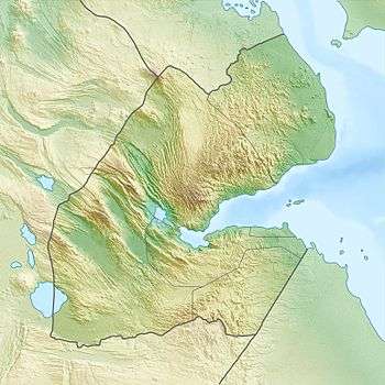
Ardoukôba is a fissure vents volcano in Djibouti.[1] Located on the coast 100 kilometres (62 mi) from Djibouti City, its summit is situated at 298 metres (978 ft) above sea level. It last erupted in November 1978 following an earthquake, having been dormant for 3,000 years. The volcano's rift is 17 kilometres (11 mi) in width, and has a depth of 800 metres (2,600 ft).[2]
The Government of Djibouti has initiated a proposal with UNESCO to declare the Lake Assal zone including the Ardoukoba volcano and its surroundings as a World Heritage Site.[3]
References
- 1 2 3 4 "Ardoukoba". Global Volcanism Program. Smithsonian Institution. Retrieved 2011-05-28.
- ↑ Seach, John. "Ardoukoba Volcano". volcanolive.com. Archived from the original on 21 May 2011. Retrieved 2011-05-28.
- ↑ "Geothermal Development in the Assal Area in Djibouti." (pdf). Djibouti Environmental Management Plan. pp. i–xi,26, 29–30. Retrieved 25 May 2011.
This article is issued from Wikipedia - version of the 9/13/2016. The text is available under the Creative Commons Attribution/Share Alike but additional terms may apply for the media files.