Asgarby, Spilsby
Not to be confused with Asgarby, Sleaford.
Coordinates: 53°10′N 0°01′W / 53.17°N 00.01°W
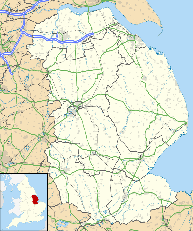
Asgarby is a hamlet in the East Lindsey district of Lincolnshire, England.[1][2] It lies just south from the B1195, a road that runs past the battlefield at Winceby. Asgarby is on the opposite side of the road to the battlefield.
Asgarby was listed in the Domesday Book of 1086.[3]
References
- ↑ Ordnance Survey: Landranger map sheet 122 Skegness & Horncastle (Map). Ordnance Survey. 2013. ISBN 9780319229392.
- ↑ "Ordnance Survey: 1:50,000 Scale Gazetteer" (csv (download)). www.ordnancesurvey.co.uk. Ordnance Survey. 1 January 2016. Retrieved 30 January 2016.
- ↑ Professor J.J.N.Palmer. "Open Doomsday: Asgarby". www.opendomesday.org. Anna Powell-Smith. Retrieved 31 January 2016.
External links
-
 Media related to Asgarby, Spilsby at Wikimedia Commons
 - Asgarby in the Domesday Book
England Portal | |
| Unitary authorities | |
| Boroughs or districts | |
| Major settlements |
|
| Topics | |
This article is issued from Wikipedia - version of the 1/31/2016. The text is available under the Creative Commons Attribution/Share Alike but additional terms may apply for the media files.