Aspen Fire
| Aspen Fire | |
|---|---|
 | |
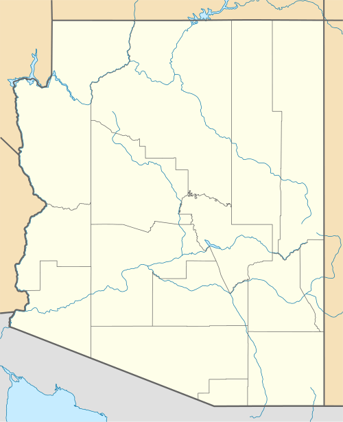
| Location | Summerhaven, Mount Lemmon, Arizona |
| Coordinates | 32°26′13″N 110°45′52″W / 32.437013°N 110.764365°W |
| Statistics | |
| Date(s) | June 17, 2003 – July 12, 2003 |
| Burned area | 84,750 acres (343 km2) |
| Buildings destroyed | 340 |
| Map | |
 | |
The Aspen Fire burned from June 17, 2003 for about a month on Mount Lemmon, part of the Santa Catalina Mountains located in the Coronado National Forest north of Tucson, Arizona, and in the surrounding area. It burned 84,750 acres (343.0 km2) (132.4 sq mi) of land, and destroyed 340 homes and businesses of the town of Summerhaven.
Damages to electric lines, phone lines, water facilities, streets and sewers totaled $4.1 million. Firefighting cost was about $17 million, and the Forest Service is spending $2.7 million to prevent soil loss.
In 2002, the year before the fire started, Congress had been requested to allocate about $2,000,000 to cover the implementation of fire prevention measures in the Coronado National Forest. However, that allocation was reduced to about $150,000 in the Congressional budget process.

References
- Barnes, Mary Ellen. Forged by Fire: The Devastation and Renewal of a Mountain Community. [Tucson, AZ]: Vireo House, 2005.