Athanur
| Athanur | |
|---|---|
| city | |
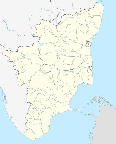 Athanur Location in Tamil Nadu, India | |
| Coordinates: 11°30′1″N 78°8′11″E / 11.50028°N 78.13639°ECoordinates: 11°30′1″N 78°8′11″E / 11.50028°N 78.13639°E | |
| Country |
|
| State | Tamil Nadu |
| District | Namakkal |
| Population (2001) | |
| • Total | 9,014 |
| Languages | |
| • Official | Tamil |
| Time zone | IST (UTC+5:30) |
Athanur is a panchayat town in Namakkal district in the state of Tamil Nadu, India.
Demographics
As of 2001 India census,[1] Athanur had a population of 9014. Males constitute 51% of the population and females 49%. Athanur has an average literacy rate of 55%, lower than the national average of 59.5%; with 59% of the males and 41% of females literate. 11% of the population is under 6 years of age.
The famous Athanur Amman kovil is situated in this location. Important Places in and around Athanur: 1) Government Primary Schools (3 No's) 2)The Kongu Polytechnic College, Mallur, Salem [2] 3) Government High School,Athanur(With in the Athanur) 4) Government Higher secondary School, Athanur (Situated in National Highway - 7, Opposite to Sambantham Spinning Mill achieved 100% Result in +2 2013-14 academic year headed by Mrs.S.Malarvizhi as Headmaster) 5) Government Primary Health Center 6) Salem city (19 km distance) 7) Rasi Nutri Foods near by Salem to Karur Railway track. 8) Gandhi Kalvi Nilayam, High School, Thengalpalayam (2 km)
References
- ↑ "Census of India 2001: Data from the 2001 Census, including cities, villages and towns (Provisional)". Census Commission of India. Archived from the original on 2004-06-16. Retrieved 2008-11-01.
- ↑ http://www.thekongucollege.org/