Atrouli
| Atrauli अत्रौली | |
|---|---|
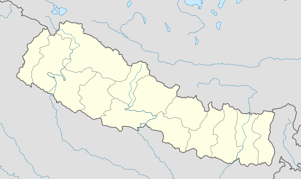 Atrauli Location in Nepal | |
| Coordinates: 27°6′0″N 85°36′0″E / 27.10000°N 85.60000°ECoordinates: 27°6′0″N 85°36′0″E / 27.10000°N 85.60000°E | |
| Country |
|
| Zone | Janakpur Zone |
| District | Sarlahi District |
| Population (2001) | |
| • Total | 6,291 |
| Time zone | Nepal Time (UTC+5:45) |
Atrauli is a town and market center in Hariyon Municipality in Sarlahi District in the Janakpur Zone of south-eastern Nepal. The formerly village development committee was transformed into municipality merging the existing village development committees i.e. Atrouli, Sasapur, Dhaurkauli and Hariyon in May 18, 2014.[1][2] At the time of the 1991 Nepal census it had a population of 4888 people living in 894 individual households.[3]
References
- ↑ "72 new municipalities announced". My Republica.com. Archived from the original on 2014-06-18. Retrieved 2014-06-10.
- ↑ "Government announces 72 new municipalities". The Kathmandu Post. Retrieved 2014-06-10.
- ↑ "Nepal Census 2001", Nepal's Village Development Committees, Digital Himalaya, archived from the original on 2008-10-12, retrieved 2013-02-09.
External links
This article is issued from Wikipedia - version of the 10/21/2016. The text is available under the Creative Commons Attribution/Share Alike but additional terms may apply for the media files.