Attai
| Attai | |
|---|---|
| Village | |
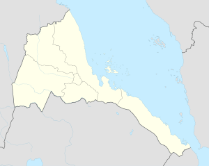 Attai Location in Eritrea | |
| Coordinates: 15°21′0″N 37°35′31″E / 15.35000°N 37.59194°ECoordinates: 15°21′0″N 37°35′31″E / 15.35000°N 37.59194°E | |
| Country |
|
| Region | Gash-Barka |
| District | Mogolo |
| Elevation | 664 m (2,178 ft) |
Attai is a village in western Eritrea.
Location
The town is located in Mogolo subregion in the Gash-Barka region. It is situated 4.1 miles from the district capital of Mogolo.
Nearby towns and villages include Hambok (7.4 nm), Mescul (5.7 nm), Aredda (5.1 nm), Chibabo (4.4 nm) and Abaredda (4.1 nm).
External links
This article is issued from Wikipedia - version of the 10/21/2016. The text is available under the Creative Commons Attribution/Share Alike but additional terms may apply for the media files.