Ava Bill Martin Memorial Airport
| Ava Bill Martin Memorial Airport | |||||||||||
|---|---|---|---|---|---|---|---|---|---|---|---|
| IATA: none – ICAO: KAOV – FAA LID: AOV | |||||||||||
| Summary | |||||||||||
| Airport type | Public | ||||||||||
| Owner | City of Ava | ||||||||||
| Serves | Ava, Missouri | ||||||||||
| Elevation AMSL | 1,311 ft / 400 m | ||||||||||
| Coordinates | 36°58′19″N 092°40′55″W / 36.97194°N 92.68194°WCoordinates: 36°58′19″N 092°40′55″W / 36.97194°N 92.68194°W | ||||||||||
| Map | |||||||||||
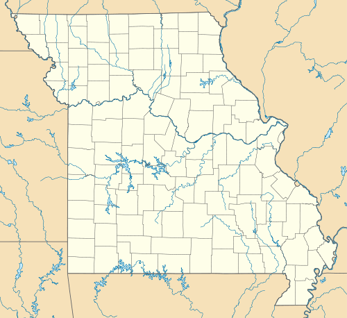 AOV Location of airport in Missouri | |||||||||||
| Runways | |||||||||||
| |||||||||||
| Statistics (2010) | |||||||||||
| |||||||||||
Ava Bill Martin Memorial Airport (ICAO: KAOV, FAA LID: AOV) is a city owned, public use airport located two nautical miles (4 km) northwest of the central business district of Ava, a city in Douglas County, Missouri, United States.[1]
Although many U.S. airports use the same three-letter location identifier for the FAA and IATA, this airport is assigned AOV by the FAA[1] but has no designation from the IATA.[2][3]
Facilities and aircraft
Ava Bill Martin Memorial Airport covers an area of 62 acres (25 ha) at an elevation of 1,311 feet (400 m) above mean sea level. It has one runway designated 13/31 with an asphalt surface measuring 3,634 by 50 feet (1,108 x 15 m).[1]
For the 12-month period ending March 31, 2010, the airport had 1,270 aircraft operations, an average of 105 per month: 98% general aviation and 2% military. At that time there were five aircraft based at this airport: 80% single-engine and 20% ultralight.[1]
References
- 1 2 3 4 5 FAA Airport Master Record for AOV (Form 5010 PDF). Federal Aviation Administration. Effective November 15, 2012.
- ↑ "IATA Airport Code Search (AOV)". International Air Transport Association. Retrieved June 9, 2013.
- ↑ "Ava Bill Martin Memorial Airport (IATA: none, ICAO: KAOV, FAA: AOV)". Great Circle Mapper. Retrieved June 9, 2013.
External links
- Ava Bill Martin Memorial (AOV) at MoDOT Airport Directory
- Aerial image as of March 1995 from USGS The National Map
- FAA Terminal Procedures for AOV, effective November 10, 2016
- Resources for this airport:
- FAA airport information for AOV
- AirNav airport information for AOV
- FlightAware airport information and live flight tracker
- SkyVector aeronautical chart for AOV