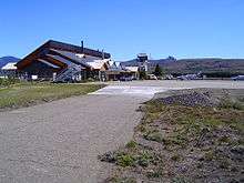
Aviador Carlos Campos Airport
| Aviador Carlos Campos Airport Aeropuerto de Chapelco - Aviador Carlos Campos | |||||||||||
|---|---|---|---|---|---|---|---|---|---|---|---|
 | |||||||||||
| IATA: CPC – ICAO: SAZY | |||||||||||
| Summary | |||||||||||
| Airport type | Public / Military | ||||||||||
| Operator | Government and Aeropuertos del Neuquén | ||||||||||
| Serves | San Martín de los Andes, Neuquén, Argentina | ||||||||||
| Location | Ruta N234 km 22, San Martín de los Andes, Neuquén (Q8370) | ||||||||||
| Elevation AMSL | 2,569 ft / 783 m | ||||||||||
| Coordinates | 40°04′31″S 71°08′14″W / 40.07528°S 71.13722°WCoordinates: 40°04′31″S 71°08′14″W / 40.07528°S 71.13722°W | ||||||||||
| Map | |||||||||||
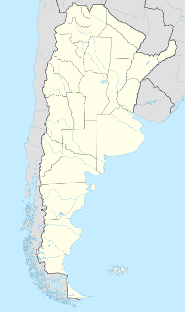 CPC Location of airport in Argentina | |||||||||||
| Runways | |||||||||||
| |||||||||||
Aviador Carlos Campos Airport (Spanish: Aeropuerto de Chapelco - Aviador Carlos Campos) (IATA: CPC, ICAO: SAZY) is an airport in Neuquén Province, Argentina serving the city of San Martín de los Andes and Junín de los Andes. It was built in 1981. It operates daily between 12:00 and 21:00 (Local Time). In 2007, this airport handled almost 30,000 passengers.
It has a 1,864 m² terminal and 150 places for parking.
Airlines and destinations
| Airlines | Destinations |
|---|---|
| Aerolíneas Argentinas operated by Austral Líneas Aéreas | Buenos Aires-Aeroparque |
References
- ↑ Airport information for SAZY at World Aero Data. Data current as of October 2006.Source: DAFIF.
- ↑ Airport information for CPC at Great Circle Mapper. Source: DAFIF (effective October 2006).
External links
- (Spanish) Aeropuerto de Chapelco "Aviador Carlos Campos" at Organismo Regulador del Sistema Nacional de Aeropuertos (ORSNA)
- Accident history for CPC at Aviation Safety Network
This article is issued from Wikipedia - version of the 10/22/2016. The text is available under the Creative Commons Attribution/Share Alike but additional terms may apply for the media files.