Ayoun el Atrous
| Ayoun el Atrous | |
|---|---|
|
Rural Ayoun el Atrous | |
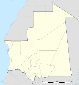 Ayoun el Atrous Location in Mauritania | |
| Coordinates: 16°40′N 9°37′W / 16.667°N 9.617°WCoordinates: 16°40′N 9°37′W / 16.667°N 9.617°W | |
| Country |
|
| Region | Hodh El Gharbi |
| Elevation | 259 m (850 ft) |
| Population (2000) | |
| • Total | 11,867 |

For the Aioun el Atrouss meteorite of 1974, see Meteorite falls.
Ayoun al Atrous (also known as Aioun el Atrouss) (Arabic: عيون العتروس) is a town in southern Mauritania. It is located at around 16°40′0″N 9°37′0″W / 16.66667°N 9.61667°W. It is the capital of Hodh El Gharbi region. The city is served by the Aioun el Atrouss Airport, 6 kilometres (4 mi) north-west of the city. The town is located in the southern area of the Aoukar, a former lake basin.[1]
Ayoun al Atrous was one of the stops in the 2007 Dakar Rally.
References
This article is issued from Wikipedia - version of the 11/21/2016. The text is available under the Creative Commons Attribution/Share Alike but additional terms may apply for the media files.