Béni Saf District
| Béni Saf District دائرة بني صاف | |
|---|---|
| District | |
|
District location within Aïn Témouchent province map | |
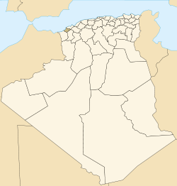 Map of Algeria highlighting Aïn Témouchent Province | |
| Country |
|
| Province | Aïn Témouchent |
| District seat | Béni Saf |
| Area | |
| • Total | 172.96 km2 (66.78 sq mi) |
| Population (2010)[1] | |
| • Total | 56,138 |
| • Density | 320/km2 (840/sq mi) |
| Time zone | CET (UTC+01) |
| Municipalities | 3 |
.svg.png)
Béni Saf is a district in Aïn Témouchent Province, Algeria. It was named after its capital, Béni Saf.
Municipalities
The district is further divided into three municipalities:
References
Coordinates: 35°18′08″N 1°23′01″W / 35.302089°N 1.383671°W
This article is issued from Wikipedia - version of the 6/20/2016. The text is available under the Creative Commons Attribution/Share Alike but additional terms may apply for the media files.