Babanusa
| Babanusa | |
|---|---|
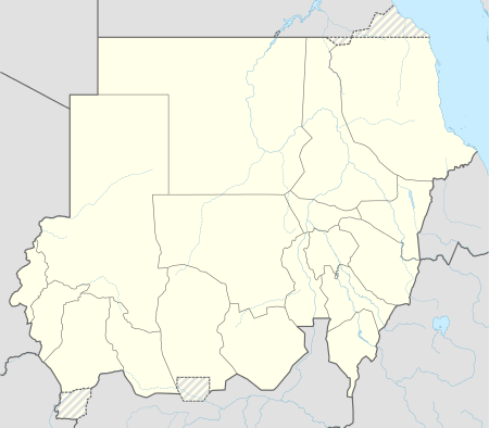 Babanusa Location in Sudan | |
| Coordinates: 11°20′N 27°48′E / 11.333°N 27.800°E | |
| Country |
|
| Elevation | 373 m (1,224 ft) |
Babanusa is a town in western Sudan.
Climate
| Climate data for Babanusa (1961–1990) | |||||||||||||
|---|---|---|---|---|---|---|---|---|---|---|---|---|---|
| Month | Jan | Feb | Mar | Apr | May | Jun | Jul | Aug | Sep | Oct | Nov | Dec | Year |
| Record high °C (°F) | 40.7 (105.3) |
42.0 (107.6) |
44.6 (112.3) |
44.0 (111.2) |
43.7 (110.7) |
42.5 (108.5) |
38.2 (100.8) |
37.8 (100) |
39.3 (102.7) |
40.0 (104) |
41.0 (105.8) |
39.8 (103.6) |
44.6 (112.3) |
| Average high °C (°F) | 32.3 (90.1) |
35.1 (95.2) |
38.1 (100.6) |
40.1 (104.2) |
39.3 (102.7) |
36.3 (97.3) |
32.7 (90.9) |
32.3 (90.1) |
33.6 (92.5) |
35.9 (96.6) |
35.7 (96.3) |
34.7 (94.5) |
35.5 (95.9) |
| Daily mean °C (°F) | 24.2 (75.6) |
27.1 (80.8) |
30.3 (86.5) |
32.3 (90.1) |
32.5 (90.5) |
27.9 (82.2) |
27.8 (82) |
27.5 (81.5) |
28.1 (82.6) |
29.5 (85.1) |
28.2 (82.8) |
26.1 (79) |
28.5 (83.3) |
| Average low °C (°F) | 16.1 (61) |
19.1 (66.4) |
22.6 (72.7) |
24.5 (76.1) |
25.7 (78.3) |
19.5 (67.1) |
22.9 (73.2) |
22.7 (72.9) |
22.6 (72.7) |
23.0 (73.4) |
20.7 (69.3) |
17.5 (63.5) |
21.4 (70.5) |
| Record low °C (°F) | 7.7 (45.9) |
11.2 (52.2) |
11.2 (52.2) |
14.0 (57.2) |
19.0 (66.2) |
14.6 (58.3) |
17.0 (62.6) |
16.9 (62.4) |
17.7 (63.9) |
16.9 (62.4) |
14.2 (57.6) |
8.6 (47.5) |
7.7 (45.9) |
| Average precipitation mm (inches) | 0.0 (0) |
0.0 (0) |
0.9 (0.035) |
6.2 (0.244) |
21.7 (0.854) |
88.0 (3.465) |
125.2 (4.929) |
125.3 (4.933) |
107.0 (4.213) |
22.9 (0.902) |
0.1 (0.004) |
0.0 (0) |
497.3 (19.579) |
| Average precipitation days (≥ 0.1 mm) | 0.0 | 0.1 | 0.2 | 0.8 | 3.5 | 7.8 | 11.0 | 12.2 | 9.6 | 3.7 | 0.1 | 0.0 | 49.0 |
| Average relative humidity (%) | 23 | 19 | 17 | 19 | 36 | 49 | 64 | 69 | 63 | 43 | 26 | 22 | 37.5 |
| Mean monthly sunshine hours | 316.2 | 280.0 | 282.1 | 279.0 | 282.1 | 243.0 | 201.5 | 210.8 | 228.0 | 266.6 | 309.0 | 313.1 | 3,211.4 |
| Percent possible sunshine | 89 | 87 | 75 | 75 | 71 | 62 | 51 | 51 | 61 | 73 | 89 | 90 | 73 |
| Source: NOAA[1] | |||||||||||||
Transport
It is a railway junction on the national railway network where the line to Waw in South Sudan branches off to the south from the line westwards to Nyala.
See also
References
- ↑ "Babanusa Climate Normals 1961–1990". National Oceanic and Atmospheric Administration. Retrieved January 17, 2016.
External links
Coordinates: 11°20′00″N 27°48′00″E / 11.33333°N 27.80000°E
This article is issued from Wikipedia - version of the 1/18/2016. The text is available under the Creative Commons Attribution/Share Alike but additional terms may apply for the media files.