Bakers Crossing, Texas
| Bakers Crossing, Texas | |
|---|---|
| Unincorporated Community | |
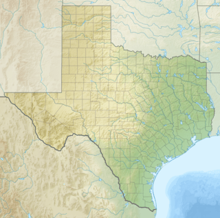 Bakers Crossing, Texas Location within Texas | |
| Coordinates: 29°57′44″N 101°8′52″W / 29.96222°N 101.14778°WCoordinates: 29°57′44″N 101°8′52″W / 29.96222°N 101.14778°W | |
| Country | United States |
| State | Texas |
| County | Val Verde |
| Elevation | 1,516 ft (462 m) |
| Time zone | Central (CST) (UTC-6) |
| • Summer (DST) | CDT (UTC-5) |
| ZIP codes | 78840 |
| Area code | 830 |
| GNIS feature ID | 1377969 |
Bakers Crossing, a populated place located on the east bank of the Devils River in Val Verde County, Texas. It lies at an elevation of 1516 feet.[1]
History
Bakers Crossing is named for a pioneer that settled on that site at the "second crossing of Devils River" by the San Antonio-El Paso Road located at that place. Texas State Highway 163 now crosses the river on a bridge slightly to the west of the original crossing and the site of the earlier highway bridge. Camp Hudson, later Fort Hudson was located nearby to the south on the opposite bank near the mouth of Hudson Canyon and Huffstutler Springs.[2][3]
References
- ↑ U.S. Geological Survey Geographic Names Information System: Bakers Crossing
- ↑ Timothy K. Perttula, The Prehistory of Texas, Texas A&M University Press, 2004, p.278
- ↑ Gunnar M. Brune, Springs of Texas, Volume 1, Texas A&M University Press, 2002, p.451
This article is issued from Wikipedia - version of the 8/21/2016. The text is available under the Creative Commons Attribution/Share Alike but additional terms may apply for the media files.