Balandrau
| Balandrau | |
|---|---|
 Balandrau, summit | |
| Highest point | |
| Elevation | 2,585 m (8,481 ft) |
| Listing | List of mountains in Catalonia |
| Coordinates | 42°22′11.89″N 02°13′10.73″E / 42.3699694°N 2.2196472°ECoordinates: 42°22′11.89″N 02°13′10.73″E / 42.3699694°N 2.2196472°E |
| Geography | |
 Balandrau Catalonia, Spain | |
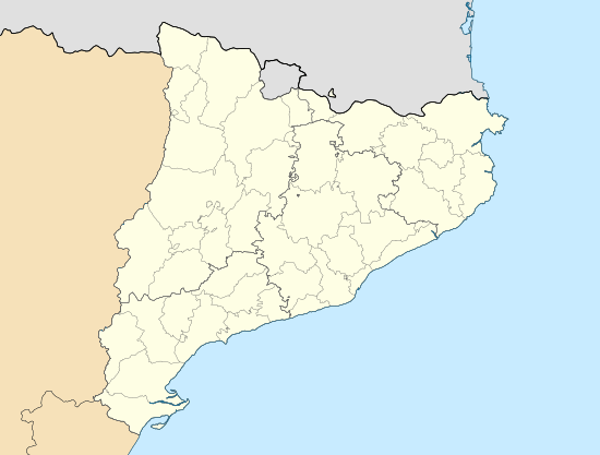
| Location | Queralbs, Vilallonga de Ter (Ripollès) Catalonia |
| Parent range | Pyrenees |
| Climbing | |
| Easiest route | Walk from Refugi de Coma de Vaca |
Balandrau is a 2,585-metre-high (8,481 ft)[1] mountain located in the eastern region of the Pyrenees. It separates the valleys of Ribes de Freser and Camprodon, Catalonia, Spain. This mountain lies relatively close to Vall de Núria (Ripollès).
See also
References
External links
This article is issued from Wikipedia - version of the 8/8/2016. The text is available under the Creative Commons Attribution/Share Alike but additional terms may apply for the media files.