Bamboesberg
| Bamboesberg | |
|---|---|
 The Bamboesberg from highway R56 between Steynsburg and Molteno | |
| Highest point | |
| Peak | Aasvoëlberg |
| Elevation | 2,208 m (7,244 ft) |
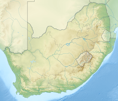
| Coordinates | 31°36′24″S 26°07′12″E / 31.60667°S 26.12000°ECoordinates: 31°36′24″S 26°07′12″E / 31.60667°S 26.12000°E |
| Geography | |
 Bamboesberg | |
| Country | South Africa |
| Province | Eastern Cape |
| Parent range | Stormberg Mountains |
| Geology | |
| Orogeny | Kaapvaal craton |
| Age of rock | Neoarchean to early Paleoproterozoic |
| Type of rock | Bushveld igneous complex, sandstone |

The Bamboesberg is a mountain range in the Eastern Cape, South Africa. This range was named for the bamboo Thamnocalamus tessellatus growing in its ravines.[1]
The Bamboesberg is an outlier of the Stormberg Mountains and part of the range is seen parallel to and east of the road linking Hofmeyr and Tarkastad. Some of its peaks are over 6,000 feet (1,800 m) – Aasvoëlberg, 35 km west of Sterkstroom, rises to 7,245 feet (2,208 m). The Stormbergspruit is a tributary of the Orange River.
The rocks are composed of sediments of the Stormberg Series of the Karoo System.[2][3]
See also
References
- ↑ Raper, Peter E. (1987). Dictionary of Southern African Place Names. Internet Archive. p. 68. Retrieved 30 October 2013.
- ↑ Standard Encyclopaedia of Southern Africa - vol 2
- ↑ Preliminary overview of mountains in South Africa
This article is issued from Wikipedia - version of the 8/17/2016. The text is available under the Creative Commons Attribution/Share Alike but additional terms may apply for the media files.