Bandwan
| Bandwan বান্দোয়ান | |
|---|---|
| Census Town | |
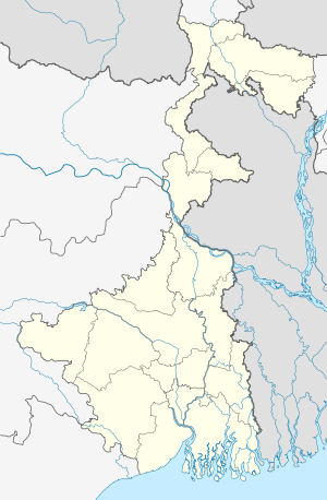 Bandwan  Bandwan Location in West Bengal, India | |
| Coordinates: 22°52′33.6″N 86°30′25.2″E / 22.876000°N 86.507000°ECoordinates: 22°52′33.6″N 86°30′25.2″E / 22.876000°N 86.507000°E | |
| Country |
|
| State | West Bengal |
| District | Purulia |
| Population (2011) | |
| • Total | 5,993 |
| Languages | |
| • Official | Bengali, English |
| Time zone | IST (UTC+5:30) |
| PIN | 723129 (Bandwan) |
| Telephone/STD code | 03253 |
| Lok Sabha constituency | Jhargram |
| Vidhan Sabha constituency | Bandwan |
| Website |
purulia |
Bandwan (also spelled Bandowan, Bandoan) is a census town, with a police station, in Bandwan CD Block in Purulia Sadar East subdivision of Purulia district in the state of West Bengal, India.
Demographics
As per 2011 Census of India Bandwan had a total population of 5,993 of which 3,112 (52%) were males and 2,881 (48%) were females. Population below 6 years was 692. The total number of literates in Bandwan was 4,131 (77.93% of the population over 6 years).[1]
Police station
Bandwan police station has jurisdiction over Bandwan CD Block. The area covered is 367.08 km2 and the population covered is 95,002. It has 52.44 km of inter-state border with Galudih, Patamda and Kamalpur police stations in East Singhbhum district of Jharkhand.[2][3]
CD Block HQ
The headquarters of Bandwan CD Block are located at Bandwan.[4]
Transport
SH 5 running from Rupnarayanpur (in Bardhaman district) to Junput (in Purba Medinipur district) passes through Bandwan.[5]The road from Bandwan to Mahulia, on NH 18, in East Singhbhum district of Jharkhand, and the Barabazar-Bandwan Road meets SH 5 at Bandwan.[6]
Education
Bandwan Mahavidyalaya at Bandwan is a government aided private college at village: Chilla, PO Jitan. It is affiliated to Sidho Kanho Birsha University. It offers courses in B.A. honours in Bengali, Sanskrit, Santhali and history, and B.A. pass.[7][8]
References
- ↑ "2011 Census – Primary Census Abstract Data Tables". West Bengal – District-wise. Registrar General and Census Commissioner, India. Retrieved 8 October 2016.
- ↑ "District Statistical Handbook 2014 Purulia". Tables 2.1, 2.2,. Department of Statistics and Programme Implementation, Government of West Bengal. Retrieved 8 October 2016.
- ↑ "Bandwan PS". Purulia District Police. Retrieved 8 October 2016.
- ↑ "District Census Handbook: Puruliya" (PDF). Map of District Puruliya with CD Block HQs and Police Stations (on the fifth page). Directorate of Census Operations, West Bengal, 2011. Retrieved 2 December 2016.
- ↑ "List of State Highways in West Bengal". West Bengal Traffic Police. Retrieved 6 October 2016.
- ↑ Google maps
- ↑ "Bandwan Mahavidyalaya". College Admission. Retrieved 8 October 2016.
- ↑ "Bandwan Mahavidyalaya". ICBSE. Retrieved 8 October 2016.
Cities, towns and locations in Purulia District | |||||||||||
|---|---|---|---|---|---|---|---|---|---|---|---|
| Cities, municipal and census towns |
| ||||||||||
| Locations other than cities and towns |
| ||||||||||
| Neighbourhood | |||||||||||
| Related topics |
| ||||||||||