Bangramanjeshwar
| Bangramanjeshwar | |
|---|---|
| city | |
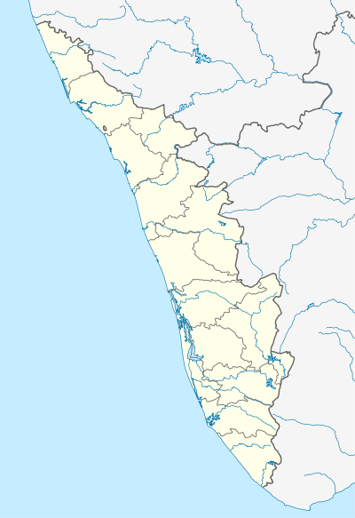 Bangramanjeshwar  Bangramanjeshwar Location in Kerala, India | |
| Coordinates: 12°43′11″N 74°53′14″E / 12.719640°N 74.887100°ECoordinates: 12°43′11″N 74°53′14″E / 12.719640°N 74.887100°E | |
| Country |
|
| State | Kerala |
| District | Kasaragod |
| Population (2001) | |
| • Total | 5,636 |
| Languages | |
| • Official | Malayalam, English |
| Time zone | IST (UTC+5:30) |
Bangramanjeshwar is a census town in Kasaragod district in the state of Kerala, India.
Demographics
As of 2001 India census,[1] Bangramanjeshwar had a population of 5636. Males constitute 49% of the population and females 51%. Bangramanjeshwar has an average literacy rate of 74%, higher than the national average of 59.5%; with 79% of the males and 67% of females literate. Thirteen percent of the population is under 6 years of age.
Transportation
Local roads have access to National Highway No.66 which connects to Mangalore in the north and Calicut in the south. The nearest railway station is Manjeshwar on Mangalore-Palakkad line. There is an airport at Mangalore.
Languages
This locality is an essentially multi-lingual region. The people speak Malayalam, Kannada, Tulu, Beary bashe and Konkani. Migrant workers also speak Hindi and Tamil languages. This village is part of Manjeswaram assembly constituency which is again part of Kasaragod (Lok Sabha constituency)
References
- ↑ "Census of India 2001: Data from the 2001 Census, including cities, villages and towns (Provisional)". Census Commission of India. Archived from the original on 2004-06-16. Retrieved 2008-11-01.