Bardrainney
Coordinates: 55°55′N 4°40′W / 55.92°N 4.66°W
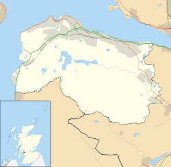
Bardrainney is a neighbourhood of Port Glasgow, in the Inverclyde region of Scotland.
Bardrainney, possibly from the Gaelic for "hill of thorns", is (post 2000) a housing area, dating from the 1950s and built by the local council, on the hills above Port Glasgow, just to the south of the A761 road to Kilmacolm. The area is called after the farm of that name whose fields the houses occupy.[1] The farm buildings no longer exist, but they were roughly on the site of the house of Alexander Dalzell, factor to the Earls of Glencairn, on the highest spot in the area in the open space at the top end of the present Moss Road, and they may have co-existed with the house.
The Bogle Stone, modern Boglestone, is a large glacial erratic some way NW of Bardrainney. Like Bardrainney, it gave its name to a housing area.[2]
- Bardrainney Photo Gallery
-

Bardrainney Avenue
-

BISF houses before and after renovation
-

Hamilton Bardrainney Church (demolished 2011)
-

St Mary The Virgin Episcopal Church
References
- ↑ Local History and Heritage. Inverclyde Council. Accessed April 17, 2012.
- ↑ Boglestone. Portglasgow4u.com. Accessed April 17, 2012.