Bawadi tehsil
| Bawadi tehsil | |
|---|---|
| tehsil | |
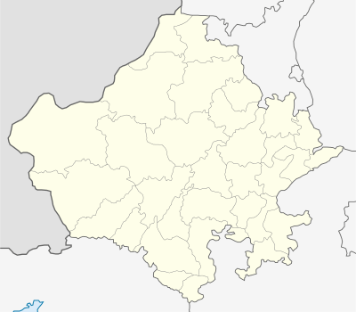 Bawadi tehsil  Bawadi tehsil Location in Rajasthan, India | |
| Coordinates: 26°36′N 073°17′E / 26.600°N 73.283°ECoordinates: 26°36′N 073°17′E / 26.600°N 73.283°E | |
| Country |
|
| State | Rajasthan |
| District | Jodhpur |
| Time zone | IST (UTC+5:30) |
| Vehicle registration | RJ |
| Lok Sabha constituency | Pali |
| Vidhan Sabha constituency | Bhopalgarh[1] |
Bawadi tehsil is a tehsil in Jodhpur District of Rajasthan state in western India.[2] The tehsil headquarters are in Baori.
Geography
Bawadi tehsil is one of the eleven tehsils in Jodhpur District. It borders Nagaur District to the north, Bhopalgarh tehsil to the east, Mandor tehsil to the south, and Osian tehsil to the west.[3]
A rare tree elsewhere, the dhauro (Anogeissus sericea var. nummularia), a small brown-barked tree with drooping branches and yellow flowers which has a winged fruit in the spring, has a fine stand of healthy trees in Bawadi Taluk.[4]
Villages
There are twenty-six panchayat villages in Bawadi tehsil.[5]
Notes
- ↑ "Parliamentary & Assembly Constituencies wise Polling Stations & Electors" (PDF). Chief Electoral Officer, Rajasthan. 2008.
- ↑ "Administrative Setup". Jodhpur District. Archived from the original on 13 May 2013.
- ↑ Bawadi tehsil is western Bhopalgarh tehsil as shown on the map. "Map:Jodhpur District, Administrative Setup". Jodhpur District. 2007. Archived from the original on 9 April 2009.
- ↑ Kumar, Arun; Rao, S. Rama & Ram, Hardev (2004). "Morphological Diversity in the Genus Anogeissus: A Multipurpose Tree of Rajasthan". The Botanica. New Delhi. 54: 115&ndsah;120, page 118.
- ↑ "Reports of National Panchayat Directory: Village Panchayat Names of Bawadi, Jodhpur, Rajasthan". Ministry of Panchayati Raj, Government of India.
This article is issued from Wikipedia - version of the 11/18/2016. The text is available under the Creative Commons Attribution/Share Alike but additional terms may apply for the media files.