Bawanur Dam
| Bawanur Dam | |
|---|---|
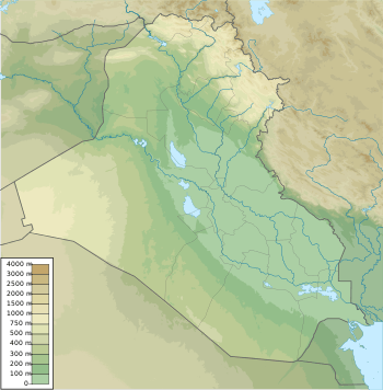 Location of Bawanur Dam in Iraq | |
| Country | Iraq |
| Location | Bawanur in Sulaymaniyah Governorate |
| Coordinates | 34°50′29.07″N 045°31′49.74″E / 34.8414083°N 45.5304833°ECoordinates: 34°50′29.07″N 045°31′49.74″E / 34.8414083°N 45.5304833°E |
| Purpose | Power, irrigation, flood control |
| Status | Under construction |
| Construction began | 2013 |
| Opening date | 2018 est. |
| Construction cost | US$200 million |
| Owner(s) | Kurdistan Regional Government |
| Dam and spillways | |
| Type of dam | Embankment, earth-fill |
| Impounds | Diyala River |
| Height | 23 m (75 ft) |
| Length | 1,190 m (3,900 ft) |
| Elevation at crest | 300 m (980 ft) |
| Width (crest) | 9 m (30 ft) |
| Width (base) | 148 m (486 ft) |
| Dam volume | 1,108,000 m3 (1,449,000 cu yd) |
| Reservoir | |
| Total capacity | 31,000,000 m3 (25,000 acre·ft) |
| Catchment area | 20,142 km2 (7,777 sq mi) |
| Surface area | 4.15 km2 (1.60 sq mi) |
| Power station | |
| Commission date | 2018 est. |
| Type | Run-of-the-river |
| Hydraulic head | 16 m (52 ft) (net) |
| Turbines | 4 x 8 MW Kaplan-type |
| Installed capacity | 32 MW |
The Bawanur Dam is an earth-fill dam currently being constructed on the Diyala River just upstream of the town of Bawanur in Sulaymaniyah Governorate, Iraq. The 23 m (75 ft) tall dam will support a 32 MW run-of-the-river hydroelectric power station. It will also serve to control floods and provide water for irrigation.[1] In August 2013, the Kurdistan Regional Government signed a US$200 million contract with the Romanian firm, Hidroconstrucția, to build the dam and power station. The project is expected to be complete in 2018.[2]
References
- ↑ "A Feasibility Study and Design of the Bawanur Dam and Irrigation System, Iraq 2010 - 2012". CREA. Retrieved 20 April 2016.
- ↑ "Kurdistan Signs $200 Million Contract With Romanian Firm for Dam Construction". Ooska News. 8 August 2013. Retrieved 20 April 2016.
This article is issued from Wikipedia - version of the 4/20/2016. The text is available under the Creative Commons Attribution/Share Alike but additional terms may apply for the media files.