Beaverdell
| Beaverdell | |
|---|---|
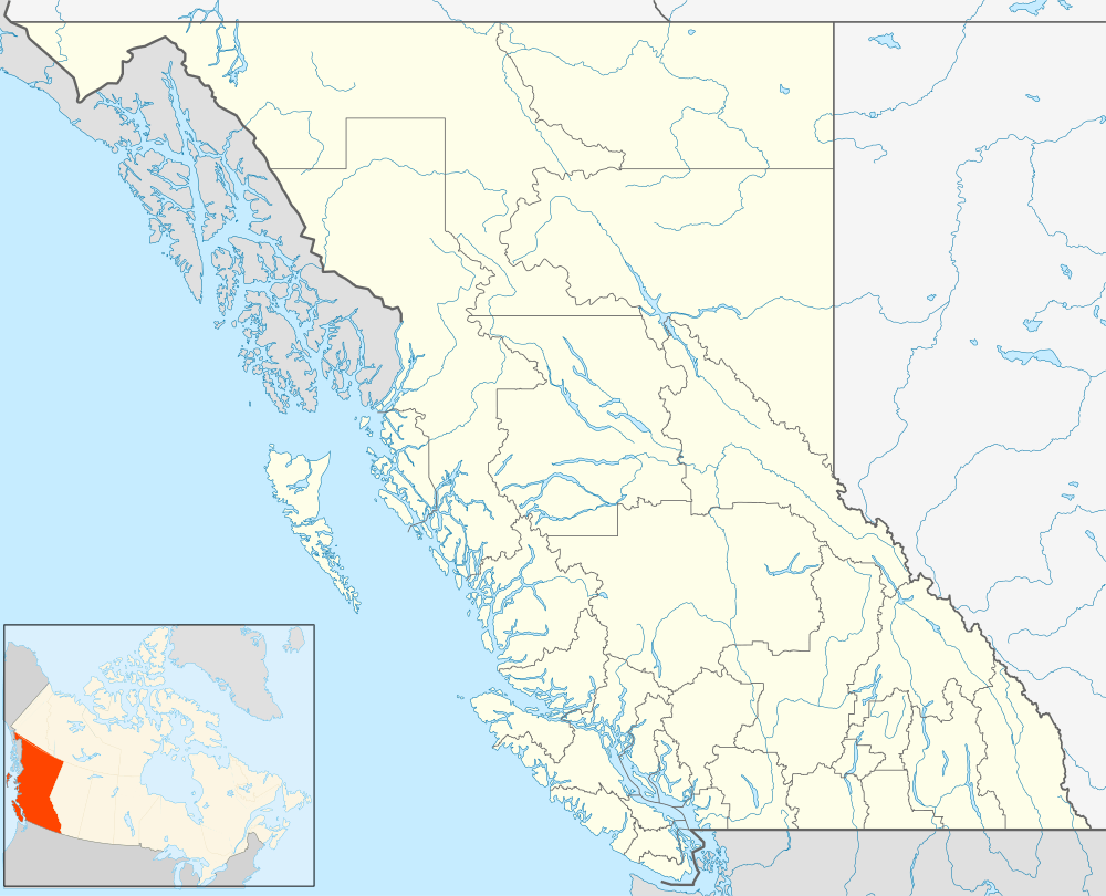 Beaverdell Location of Beaverdell in British Columbia | |
| Coordinates: 49°26′00″N 119°05′00″W / 49.43333°N 119.08333°WCoordinates: 49°26′00″N 119°05′00″W / 49.43333°N 119.08333°W | |
| Country | Canada |
| Province | British Columbia |
| Regional District | Kootenay Boundary |
| Elevation | 838 m (2,749 ft) |
| Time zone | Pacific Time Zone (UTC-8) |
| • Summer (DST) | Pacific Daylight Time (UTC-7) |
| Area code(s) | 250, 778 |
Beaverdell is an unincorporated settlement in the Monashee Country of the Southern Interior of British Columbia, Canada, which lies to the east of the Okanagan Valley and north of the Boundary Country region.[1] It is located midway along the West Kettle River between Kelowna and Rock Creek along British Columbia Highway 33.
Beaverdell was originally named Beaverton, but when its post office was amalgamated with that of nearby Rendell, the names of the two locations were combined into Beaverdell. It is the namesake of the Beaverdell Range, which is on the settlement's east side and is the mountain spine lying between the West Kettle River and the Kettle River.
Education
K-3 schooling in the community is provided by Beaverdell Elementary School. Rock Creek Elementary school serves the community to grade 7, and Midway Secondary School provides grades 8–12. These small communities go to school from Monday to Thursday each week.
Climate
Beaverdell has one of the highest diurnal temperature variations in Canada. In addition, this community has the highest diurnal temperature variation in Canada from June through September by means of the dry and sunny climate, a relatively high elevation, and the surrounding geography. The daily temperature swings during the winter are less varied thanks to the presence of valley cloud. Despite its proximity to Kelowna, Beaverdell receives about 25% more rain, due to orographic precipitation induced by its higher elevation within the Okanagan Highland.
| Climate data for North Beaverdell (1981-2010) | |||||||||||||
|---|---|---|---|---|---|---|---|---|---|---|---|---|---|
| Month | Jan | Feb | Mar | Apr | May | Jun | Jul | Aug | Sep | Oct | Nov | Dec | Year |
| Record high °C (°F) | 10.5 (50.9) |
13.5 (56.3) |
22.5 (72.5) |
30.0 (86) |
34.0 (93.2) |
34.5 (94.1) |
38.9 (102) |
36.5 (97.7) |
37.0 (98.6) |
28.5 (83.3) |
19.4 (66.9) |
11.5 (52.7) |
38.9 (102) |
| Average high °C (°F) | −1.5 (29.3) |
2.6 (36.7) |
8.0 (46.4) |
13.5 (56.3) |
17.9 (64.2) |
21.8 (71.2) |
25.6 (78.1) |
25.8 (78.4) |
21.2 (70.2) |
12.7 (54.9) |
2.9 (37.2) |
−2.6 (27.3) |
12.3 (54.1) |
| Daily mean °C (°F) | −6.1 (21) |
−3.7 (25.3) |
1.3 (34.3) |
5.8 (42.4) |
9.8 (49.6) |
13.3 (55.9) |
15.9 (60.6) |
15.6 (60.1) |
11.2 (52.2) |
5.0 (41) |
−1.4 (29.5) |
−7.0 (19.4) |
5.0 (41) |
| Average low °C (°F) | −10.6 (12.9) |
−10.0 (14) |
−5.5 (22.1) |
−1.9 (28.6) |
1.6 (34.9) |
4.8 (40.6) |
6.1 (43) |
5.3 (41.5) |
1.2 (34.2) |
−2.7 (27.1) |
−5.7 (21.7) |
−11.3 (11.7) |
−2.4 (27.7) |
| Record low °C (°F) | −37.5 (−35.5) |
−35.5 (−31.9) |
−30.0 (−22) |
−10.5 (13.1) |
−6.5 (20.3) |
−4.0 (24.8) |
−2.0 (28.4) |
−4.0 (24.8) |
−9.0 (15.8) |
−22.0 (−7.6) |
−35.0 (−31) |
−43.0 (−45.4) |
−43.0 (−45.4) |
| Average precipitation mm (inches) | 41.9 (1.65) |
29.0 (1.142) |
27.9 (1.098) |
37.4 (1.472) |
54.4 (2.142) |
61.8 (2.433) |
41.0 (1.614) |
32.4 (1.276) |
32.7 (1.287) |
32.5 (1.28) |
41.2 (1.622) |
53.5 (2.106) |
485.7 (19.122) |
| Source: Environment Canada[2] | |||||||||||||
See also
References
- ↑ "Beaverdell". BC Geographical Names.
- ↑ Environment Canada—Canadian Climate Normals 1981–2010, accessed 12 July 2013