Belnie
| Belnie | |
 Belnie lane |
|
 Belnie |
|
| OS grid reference | TF2530 |
|---|---|
| – London | 90 mi (140 km) S |
| Shire county | Lincolnshire |
| Region | East Midlands |
| Country | England |
| Sovereign state | United Kingdom |
| Postcode district | PE11 |
| Police | Lincolnshire |
| Fire | Lincolnshire |
| Ambulance | East Midlands |
| EU Parliament | East Midlands |
|
|
Coordinates: 52°51′N 0°08′W / 52.85°N 00.14°W
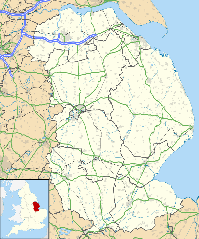
Belnie is a hamlet in the civil parish of Gosberton, Lincolnshire, England.[1]
References
- ↑ "Welcome to Spalding:Gosberton". Visitor UK Ltd, Boston. Retrieved 13 April 2013.
England Portal | |
| Unitary authorities | |
| Boroughs or districts | |
| Major settlements |
|
| Topics | |
This article is issued from Wikipedia - version of the 9/16/2016. The text is available under the Creative Commons Attribution/Share Alike but additional terms may apply for the media files.