Belo pole
| Belo pole Бело поле | |
|---|---|
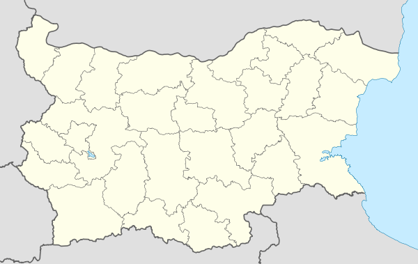 Belo pole Location of Belo pole | |
| Coordinates: 42°2′0″N 23°2′0″E / 42.03333°N 23.03333°ECoordinates: 42°2′0″N 23°2′0″E / 42.03333°N 23.03333°E | |
| Country |
|
| Province | Blagoevgrad Province |
| Municipality | Blagoevgrad |
| Government | |
| • Mayor | Ivan Stoychev (VMRO-BND) |
| Area | |
| • Total | 2.584 km2 (0.998 sq mi) |
| Elevation | 333 m (1,093 ft) |
| Population (15-12-2010[1]) | |
| • Total | 655 |
| Time zone | EET (UTC+2) |
| • Summer (DST) | EEST (UTC+3) |
| Postal Code | 2709 |
| Area code(s) | 073 |
| Climate | Cfa |
Belo Pole (Bulgarian: Бело поле) is a small village in southwestern Bulgaria. Administratively it is included in Blagoevgrad Municipality, Blagoevgrad Province.
It is located 4.5 km northwest of Blagoevgrad on the main road E79 and the railway Sofia-Kulata, on the left bank of Struma river. Because of the closeness with Blagoevgrad it is connected with town's communal transport net. Passenger trains stop there too.
Geography
Belo Pole is situated in the valley of the Struma river, on the left coast. The village is near to the administrative centre and it is like suburb of Blagoevgrad.
History
Belo Pole is supposed to be an ancient Roman settlement. Archeologists found coins from Roman Republic. The legends says the first people (or travelling merchants in other version of the legend) come here saw a field with many white flowers. This is the reason the village to be named Belo Pole (In English this means "A White Field").
References
Capital: Blagoevgrad | ||
| Villages |  | |
| Landmarks |
| |
| Culture | ||
| Notable people | ||