Bengkunat
| Bengkunat | |
|---|---|
| Village | |
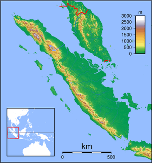 Bengkunat Location of the town in Sumatra | |
| Coordinates: 5°37′0″S 104°21′0″E / 5.61667°S 104.35000°ECoordinates: 5°37′0″S 104°21′0″E / 5.61667°S 104.35000°E | |
| Country | Indonesia |
| Province | Lampung |
| Regency | West Lampung Regency |
| Time zone | WIB (UTC+7) |
Bengkunat is a village and kecamatan (sub-district) of the West Lampung Regency (Lampung Barat) in Lampung province in far south-western Sumatra. It is connected by road directly to the provincial capital of Bandar Lampung in the east. It lies near the coast and what is known as Bengkunat Bay, located about 7 miles southeast of Ujung Siging.[1] A massif is formed in this area, the Bengkunat massif, noted for its granite.[2][3]
References
- ↑ United States. Defense Mapping Agency. Hydrographic/Topographic Center (1978). Sailing directions (enroute) for the Strait of Malacca and Sumatera. Defense Mapping Agency, Hydrographic Center. pp. 195–6. Retrieved 15 June 2011.
- ↑ American Chemical Society (1983). Chemical abstracts. American Chemical Society. Retrieved 15 June 2011.
- ↑ Pacific Science Association (1961). Proceedings - Pacific Science Congress. p. 82. Retrieved 15 June 2011.
This article is issued from Wikipedia - version of the 10/14/2016. The text is available under the Creative Commons Attribution/Share Alike but additional terms may apply for the media files.