Bertoua Airport
| Bertoua Airport | |||||||||||||||
|---|---|---|---|---|---|---|---|---|---|---|---|---|---|---|---|
| IATA: BTA – ICAO: FKKO | |||||||||||||||
| Summary | |||||||||||||||
| Airport type | Public | ||||||||||||||
| Serves | Bertoua | ||||||||||||||
| Location |
| ||||||||||||||
| Elevation AMSL | 2,198 ft / 670 m | ||||||||||||||
| Coordinates | 04°32′59.7″N 013°43′33.2″E / 4.549917°N 13.725889°ECoordinates: 04°32′59.7″N 013°43′33.2″E / 4.549917°N 13.725889°E | ||||||||||||||
| Map | |||||||||||||||
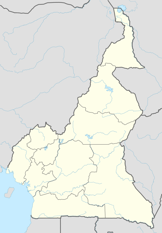 FKKO Location of Bertoua Airport in Cameroon | |||||||||||||||
| Runways | |||||||||||||||
| |||||||||||||||
| Helipads | |||||||||||||||
| |||||||||||||||
Bertoua Airport (IATA: BTA, ICAO: FKKO) is a public use airport located 5 kilometres (3 mi) east-southeast of Bertoua, Est, Cameroon.
See also
References
- ↑ Airport record for Bertoua Airport at Landings.com. Retrieved 2013-08-25
- ↑ Google (2013-08-25). "location of Bertoua Airport" (Map). Google Maps. Google. Retrieved 2013-08-25.
External links
- Airport record for Bertoua Airport at Landings.com
- Current weather for FKKO at NOAA/NWS
This article is issued from Wikipedia - version of the 11/8/2016. The text is available under the Creative Commons Attribution/Share Alike but additional terms may apply for the media files.