Big Creek, British Columbia
| Big Creek | |
|---|---|
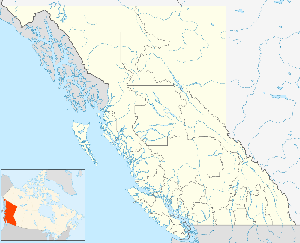
 Big Creek Location of Big Creek in British Columbia | |
| Coordinates: 51°43′00″N 123°02′00″W / 51.71667°N 123.03333°WCoordinates: 51°43′00″N 123°02′00″W / 51.71667°N 123.03333°W | |
| Country |
|
| Province |
|
| Area code(s) | 250, 778 |
Big Creek is an unincorporated locality and former post office in the Chilcotin District of British Columbia, Canada, located south of Hanceville on the creek of the same name. The post office first opened in 1907 and was closed in 1975.[1]
Climate
| Climate data for Big Creek | |||||||||||||
|---|---|---|---|---|---|---|---|---|---|---|---|---|---|
| Month | Jan | Feb | Mar | Apr | May | Jun | Jul | Aug | Sep | Oct | Nov | Dec | Year |
| Record high °C (°F) | 18.5 (65.3) |
14.4 (57.9) |
20 (68) |
30.6 (87.1) |
32.2 (90) |
34.4 (93.9) |
37.2 (99) |
38.9 (102) |
35 (95) |
26.7 (80.1) |
19 (66) |
15.5 (59.9) |
38.9 (102) |
| Average high °C (°F) | −3.5 (25.7) |
2.2 (36) |
5.1 (41.2) |
9.3 (48.7) |
14.5 (58.1) |
18.6 (65.5) |
21.1 (70) |
21.3 (70.3) |
16.2 (61.2) |
10.3 (50.5) |
1.9 (35.4) |
−3.3 (26.1) |
9.5 (49.1) |
| Daily mean °C (°F) | −10.4 (13.3) |
−5.3 (22.5) |
−1.9 (28.6) |
2.4 (36.3) |
7 (45) |
10.9 (51.6) |
13.3 (55.9) |
13.2 (55.8) |
8.5 (47.3) |
3.2 (37.8) |
−4.3 (24.3) |
−10 (14) |
2.2 (36) |
| Average low °C (°F) | −17.5 (0.5) |
−13 (9) |
−9.1 (15.6) |
−4.7 (23.5) |
−0.5 (31.1) |
3.1 (37.6) |
5.5 (41.9) |
5.1 (41.2) |
0.8 (33.4) |
−3.9 (25) |
−10.6 (12.9) |
−17 (1) |
−5.1 (22.8) |
| Record low °C (°F) | −47.2 (−53) |
−45 (−49) |
−35.6 (−32.1) |
−26.3 (−15.3) |
−11 (12) |
−7.2 (19) |
−2.2 (28) |
−4.5 (23.9) |
−15.6 (3.9) |
−31.5 (−24.7) |
−36.5 (−33.7) |
−46.7 (−52.1) |
−47.2 (−53) |
| Average precipitation mm (inches) | 29.1 (1.146) |
17.3 (0.681) |
12.5 (0.492) |
17.5 (0.689) |
31.7 (1.248) |
41.6 (1.638) |
44.1 (1.736) |
37.9 (1.492) |
28.6 (1.126) |
20 (0.79) |
22.6 (0.89) |
31.1 (1.224) |
334.1 (13.154) |
| Source: 1961-1990 Environment Canada [2] | |||||||||||||
References
- ↑ "Big Creek (locality)". BC Geographical Names.
- ↑ Environment Canada—1961–1990. Retrieved 16 October 2012.
This article is issued from Wikipedia - version of the 12/21/2014. The text is available under the Creative Commons Attribution/Share Alike but additional terms may apply for the media files.