Birks Fell
| Birks Fell | |
|---|---|
 Birks Fell | |
| Highest point | |
| Elevation | 610 m (2,000 ft) |
| Parent peak | Pen-y-ghent |
| Listing | Marilyn |
| Coordinates | 54°10′59″N 2°07′33″W / 54.183°N 2.1259°WCoordinates: 54°10′59″N 2°07′33″W / 54.183°N 2.1259°W |
| Geography | |
| Location | North Yorkshire, England |
| Parent range | Southern Yorkshire Dales |
| OS grid | SD918763 |
Birks Fell is a hill in the Yorkshire Dales, near to Hubberholme in North Yorkshire, England. It is classed as a Marilyn (a hill with topographic prominence of at least 150m). Birks Fell only became an official Marilyn in 2006 as it was resurveyed and discovered to be 610 m and not 608 m as previously thought. This raises it above neighbouring Horse Head Moor (609 m), making it the Marilyn in place of Horse Head Moor.
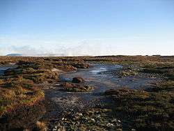
Frozen Peat on Birks Fell
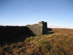
Ruins on Birks Fell
Marilyns of Northern England | ||
|---|---|---|
| 1. Northumberland | 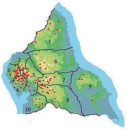 | |
| 2. Northern Lakeland | ||
| 3. Western Lakeland | ||
| 4. Central and Southern Lakeland | ||
| 5. Eastern Lakeland | ||
| 6. North Pennines and Durham | ||
| 7. Northern Yorkshire Dales | ||
| 8. Southern Yorkshire Dales | ||
| 9. North York Moors to the Humber | ||
| 10. Forest of Bowland | ||
This article is issued from Wikipedia - version of the 11/16/2014. The text is available under the Creative Commons Attribution/Share Alike but additional terms may apply for the media files.