Black Berry Islands
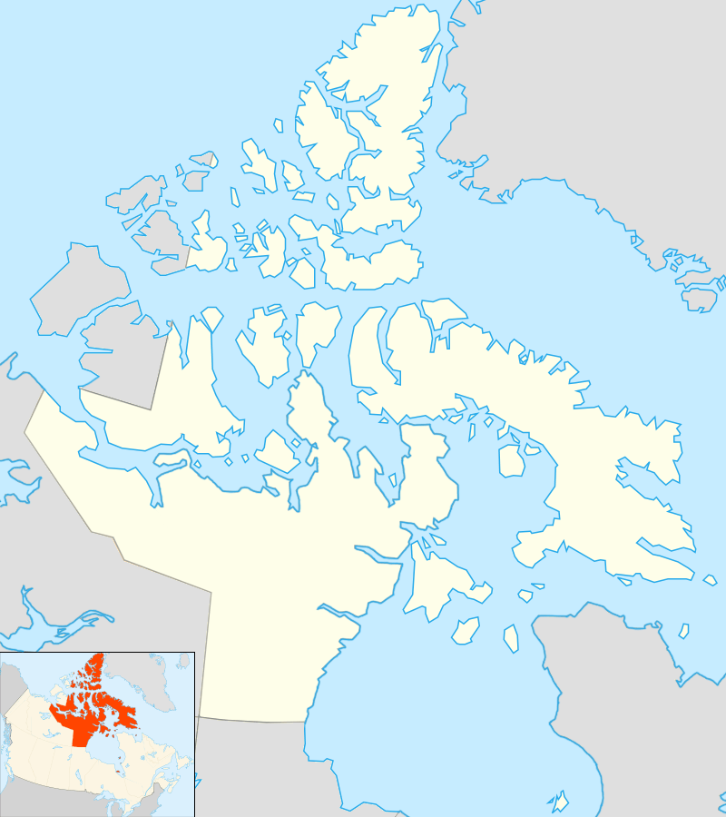 Black Berry Islands Location in Nunavut | |
| Geography | |
|---|---|
| Location | Coronation Gulf |
| Coordinates | 68°13′59″N 113°18′00″W / 68.23306°N 113.30000°WCoordinates: 68°13′59″N 113°18′00″W / 68.23306°N 113.30000°W |
| Administration | |
| Territory | Nunavut |
| Region | Kitikmeot |
| Demographics | |
| Population | Uninhabited |
The Black Berry Islands are located in Coronation Gulf, south of Victoria Island. They are part of the Kitikmeot Region, in the Canadian territory of Nunavut. [1]
Other island groups in the vicinity include the Berens Islands, Couper Islands, Deadman Islands, Lawford Islands, Leo Islands, and Sir Graham Moore Islands.
References
- ↑ "Black Berry Islands, Nunavut". nrcan.gc.ca. Retrieved 2008-08-05.
This article is issued from Wikipedia - version of the 11/11/2016. The text is available under the Creative Commons Attribution/Share Alike but additional terms may apply for the media files.