Bohol, Somalia
| Bohol | |
|---|---|
| Village | |
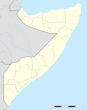 Bohol Location in Somalia. | |
| Coordinates: 9°19′36″N 47°17′15″E / 9.32667°N 47.28750°ECoordinates: 9°19′36″N 47°17′15″E / 9.32667°N 47.28750°E | |
| Country |
|
| Region | Sool |
| District | Xudun |
| Time zone | EAT (UTC+3) |
Bohol is a village in Xudun District in the northern Sool region of Somalia.[1] It is located northwest by road from Xudun.[2][3]
Local control is disputed between Somaliland, Puntland and Khatumo State (formerly HBM-SSC or Hoggaanka Badbaadada iyo Mideynta SSC[4]).
References
- ↑ Bohol, Somalia
- ↑ Google Maps (Map). Google.
- ↑ Bing Maps (Map). Microsoft and Harris Corporation Earthstar Geographics LLC.
- ↑ Somaliland’s Quest for International Recognition and the HBM-SSC Factor Archived May 28, 2012, at the Wayback Machine.
External links
This article is issued from Wikipedia - version of the 11/18/2016. The text is available under the Creative Commons Attribution/Share Alike but additional terms may apply for the media files.