Bowithick
Coordinates: 50°37′01″N 4°34′15″W / 50.61690°N 4.57083°W
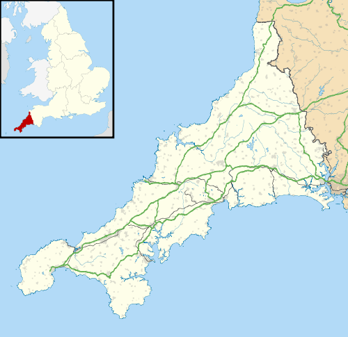
Bowithick is a hamlet on the northern edge of Bodmin Moor in Cornwall, England, United Kingdom.[1]
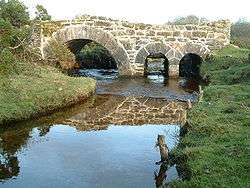
Bowithick is situated near the disused Davidstow Moor airfield. The nearest villages are St Clether and Altarnun. There is a ford on the Penpont Water and the 346 m (1137 ft) high hill Bray Down nearby with Buttern Hill (1135 ft) immediately to the west of it.[1]
The manor of Bowithick was recorded in the Domesday Book (1086) when it was held by Osferth from Robert, Count of Mortain. He had also held it before 1066 and paid tax for one furlong. There was land for 2 ploughs. There were one villein and 2 smallholders. The value of the manor was 2 shillings though it had formerly been worth 5 shillings.[2]
References
External links
| Wikimedia Commons has media related to Bowithick. |
Cornwall Portal | |
| Unitary authorities | |
| Major settlements |
|
| Rivers | |
| Topics | |