Brane, Cornwall
Coordinates: 50°05′55″N 5°37′56″W / 50.0985°N 5.6322°W
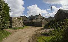
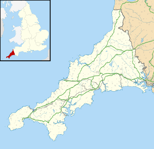
Brane is a hamlet southwest of Sancreed in west Cornwall, England, UK.[1] It is noted for the Carn Euny Iron Age site which lies to the north. Other prehistoric sites nearby include the Iron-Age hill fort of Caer Bran, and chambered tomb known as Brane Barrow.
References
This article is issued from Wikipedia - version of the 1/14/2016. The text is available under the Creative Commons Attribution/Share Alike but additional terms may apply for the media files.