Brauncewell
| Brauncewell | |
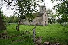 Church of All Saints, Brauncewell |
|
 Brauncewell |
|
| OS grid reference | TF013519 |
|---|---|
| – London | 110 mi (180 km) S |
| District | North Kesteven |
| Shire county | Lincolnshire |
| Region | East Midlands |
| Country | England |
| Sovereign state | United Kingdom |
| Post town | Lincoln |
| Postcode district | LN1 |
| Police | Lincolnshire |
| Fire | Lincolnshire |
| Ambulance | East Midlands |
| EU Parliament | East Midlands |
| UK Parliament | Sleaford and North Hykeham |
|
|
Coordinates: 53°03′19″N 0°29′23″W / 53.055413°N 0.489765°W
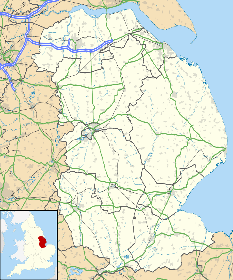
Brauncewell is a hamlet and was a civil parish in the North Kesteven district of Lincolnshire, England. From the census 2011 the population is included in the civil parish of Cranwell, Brauncewell and Byard's Leap. It is situated between Leadenham and the market town of Sleaford, and is north from, and in close proximity to, RAF Cranwell.
Brauncewell Grade II listed Anglican parish church is dedicated to All Saints.[1] Built in the 16th century over an earlier church, it was largely rebuilt in 1857.[2] It includes a grave cover in the nave dated between the 10th and 12th century.[3] The church is now redundant.
Brauncewell is close to a large quarry.
A Bronze Age Barrow burial site, and Roman sites, have been identified within the parish.
The parish contains the remains of two deserted medieval villages:
References
- ↑ "Church of All Saints", National Heritage List for England, English Heritage. Retrieved 1 July 2011
- ↑ Cox, J. Charles (1916) Lincolnshire p. 349; Methuen & Co. Ltd
- ↑ "All Saints Church", National Monuments Record, English Heritage. Retrieved 1 July 2011
- ↑ "Brauncewell", National Monuments Record, English Heritage. Retrieved 1 July 2011
- ↑ "Dunsby", National Monuments Record, English Heritage. Retrieved 1 July 2011
External links
 Media related to Brauncewell at Wikimedia Commons
England Portal | |
| Unitary authorities | |
| Boroughs or districts | |
| Major settlements |
|
| Topics | |