Bridge End, County Durham

Bridge End
Bridge End
 Bridge End shown within County Durham
OS grid referenceNZ022366
Unitary authorityCounty Durham
Ceremonial countyCounty Durham
RegionNorth East
CountryEngland
Sovereign stateUnited Kingdom
Post town BISHOP AUCKLAND
Postcode district DL13
Police Durham
Fire County Durham and Darlington
Ambulance North East
EU Parliament North East England
UK ParliamentNorth West Durham
List of places
UK
England
County Durham

Coordinates: 54°43′26″N 1°58′01″W / 54.724°N 1.967°W / 54.724; -1.967

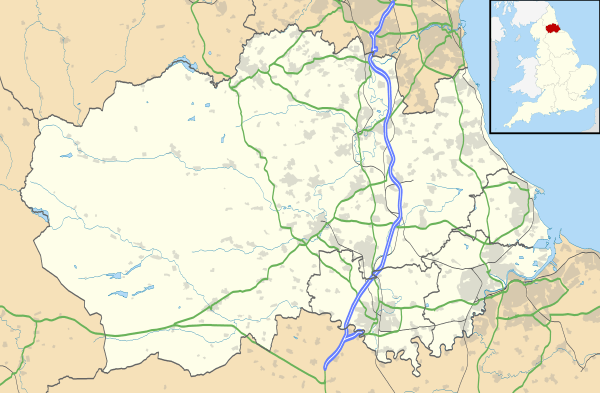
Bridge End is a hamlet in County Durham, England. It is situated on the south bank of the River Wear, on the other side of Weardale from Frosterley, and near Hill End and White Kirkley.[1]

References

  1. Ordnance Survey: Landranger map sheet 88 Newcastle upon Tyne (Durham & Sunderland) (Map). Ordnance Survey. 2012. ISBN 9780319229989.


This article is issued from Wikipedia - version of the 10/12/2016. The text is available under the Creative Commons Attribution/Share Alike but additional terms may apply for the media files.