Bulwer, New Zealand
| Bulwer | |
|---|---|
 | |
 Bulwer | |
| Coordinates: 40°56′30″S 173°56′59″E / 40.94167°S 173.94972°ECoordinates: 40°56′30″S 173°56′59″E / 40.94167°S 173.94972°E | |
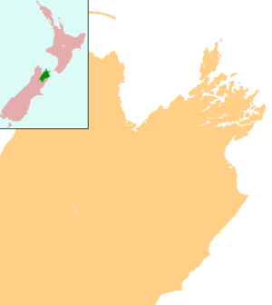
| Country | New Zealand |
| Region | Marlborough |
Bulwer is a small locality in Waihinau Bay in the outer Pelorus Sound, New Zealand. It can be reached by 77 km of winding, mostly unsealed, road from Rai Valley.[1][2] A weekly mail-boat service delivers mail and also offers passenger services.
The area surrounding Bulwer features a mixture of native bush, farm land and pine plantations.
Naming
"Bulwer" and the associated name "Lytton Water"[3] honour either Edward Bulwer-Lytton (1803-1873) or his son Edward Robert Lytton Bulwer-Lytton, 1st Earl of Lytton (1831-1891).[4]
Notes
- ↑ Peter Dowling (editor) (2004). Reed New Zealand Atlas. Reed Books. pp. map 59. ISBN 0-7900-0952-8.
- ↑ Roger Smith, GeographX (2005). The Geographic Atlas of New Zealand. Robbie Burton. pp. map 131. ISBN 1-877333-20-4.
- ↑ United States Hydrographic Office, eds. (1929). New Zealand Pilot: Including Kermadec Islands, Chatham Islands, and the Off-lying Islands Southeastward and Southward of New Zealand. Hydrographic Office publications (2 ed.). U.S. Government Printing Office. p. 364. Retrieved 2015-12-27.
Lytton Water lies at the confluence of Popoure and Pinohia Reaches with Opouri Bay.
- ↑ Reed, Alexander Wyclif (2002) [1975]. Peter Dowling, ed. The Reed dictionary of New Zealand place names. Max Cryer (2002 ed.). Auckland: Reed. ISBN 0-7900-0761-4.
Bulwer [...] was surveyed and named, together with Lytton Water as the bay. Both names honoured the author Edward Bulwer-Lytton, or possibly his father[sic], Lord Edward Robert Bulwer-Lytton, viceroy of India from 1876 to 1880.
This article is issued from Wikipedia - version of the 9/16/2016. The text is available under the Creative Commons Attribution/Share Alike but additional terms may apply for the media files.