Buria
| Buria | |
|---|---|
| town | |
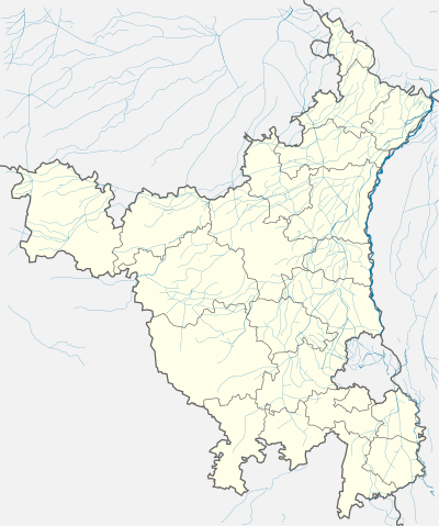 Buria  Buria Location in Haryana, India | |
| Coordinates: 30°09′N 77°21′E / 30.15°N 77.35°ECoordinates: 30°09′N 77°21′E / 30.15°N 77.35°E | |
| Country |
|
| State | Haryana |
| District | Yamunanagar |
| Population (2001) | |
| • Total | 9,829 |
| Languages | |
| • Official | Hindi |
| Time zone | IST (UTC+5:30) |
| PIN | 135101 |
| Vehicle registration | HR02 |
| Website |
haryana |
Buria is a small town and municipal committee situated on the banks of the Western Yamuna Canal approximately 4 kilometres (2.5 mi) from the city of Jagadhri.
The presence of Birbal Dwar (Birbal Gate) in the village indicates that the town was once governed by Birbal, court advisor to the Mughal emperor Akbar.
Other attractions include The Pataleshwar Mahadev Shiv Mandir, The Sanatan Dharam Hanuman Mandir (both Hindu temples) and a Gurudwara (Sikh temple) in remembrance of the ninth Sikh Guru Tegh Bahadur. The town was part of a princely state before Indian independence and was ruled by Ratan Amol Singh, whose family still reside in the town.
Fort
The town is home to Chaudhary Charan Singh Haryana Agricultural University's Regional Research Station, which has 26 acres (11 ha) of orchard. This research station is meant for the Horticultural Research in the region. Presently the work is based on the germplasms of mango, lithci, pear, peach plum, sapota, guava, apple and lemon. The research station is equipped with one weather observatory which provide daily weather data for the research purposes. Also the inter-cropping experiments were going on based on the newly planted orchard where the space available is utilized to develop technology for increasing the profits at the farmer's end. [1]
Demographics
As of 2001 India census,[2] Buria had a population of 9829. Males constitute 55% of the population and females 45%. Buria has an average literacy rate of 58%, lower than the national average of 59.5%; with male literacy of 65% and female literacy of 50%. 14% of the population is under six years of age.
References
- ↑ Rajesh Kathwal and Suleman Mohammed, 2015, Regional Research Station Buria
- ↑ "Census of India 2001: Data from the 2001 Census, including cities, villages and towns (Provisional)". Census Commission of India. Archived from the original on 2004-06-16. Retrieved 2008-11-01.