Burning Springs Complex
|
Burning Springs Complex | |
 | |
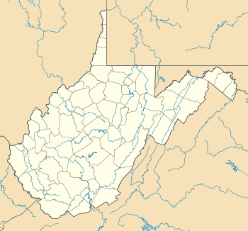  | |
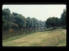
| Location | Along the N bank of the Kanawha River from the confluence of Burning Springs Run, Burning Springs, West Virginia |
|---|---|
| Coordinates | 38°59′16″N 81°19′10″W / 38.98778°N 81.31944°WCoordinates: 38°59′16″N 81°19′10″W / 38.98778°N 81.31944°W |
| Area | 20 acres (8.1 ha) |
| Built | 1859 |
| Architect | Rathbone Bros.; Et al. |
| NRHP Reference # | [1] |
| Added to NRHP | May 6, 1971 |
Burning Springs Complex, also known as the Rathbone and Karns Wells, is a national historic district located at Burning Springs, Wirt County, West Virginia. It encompasses one contributing building and three contributing sites. It was the site of the world's second great oil field, springing up only months after the Drake Well in Pennsylvania. During the American Civil War, it was destroyed by General William E. Jones on May 9, 1863.[2]
It was listed on the National Register of Historic Places in 1971.[1]
References
- 1 2 National Park Service (2009-03-13). "National Register Information System". National Register of Historic Places. National Park Service.
- ↑ Clifford M. Lewis, S.J. (August 1970). "National Register of Historic Places Inventory Nomination Form: Burning Springs Complex" (PDF). State of West Virginia, West Virginia Division of Culture and History, Historic Preservation. Retrieved 2011-07-09.
| Topics |  | |
|---|---|---|
| Lists by county |
| |
| Other lists | ||
| ||
This article is issued from Wikipedia - version of the 11/28/2016. The text is available under the Creative Commons Attribution/Share Alike but additional terms may apply for the media files.